
来自合集 Trail Of Tears National Historic Trail · 第 1 篇,共 7 篇
The Old Wire Road has been a road of many names. It at first was a buffalo trace and a hunting route of the Osage and fur traders. It was ordered by the county court in 1835 to be cut out 20 feet wide and was called the Missouri road. It became a postal route and was a prime route connecting Northwest Arkansas and Indian territory. In 1837 to 1839 it was called the Springfield to Fayetteville Road. In 1860 when the telegraph lines were strung along the road it became Telegraph Road and eventually was named Old Wire Road. The alignment has changed very little from 1838-1839 when it carried 12 detachments on the final leg of their journey to Indian Territory. You may notice different road names throughout the stops on this itinerary, but they all connect to what is still today referred to as the Old Wire Road. The Wire Road, as it is known in Missouri, didn’t just begin or end at a state border, so consider that the road continues both north and south from this itinerary, connecting cities as far as St. Louis, Missouri, to Fort Smith, Arkansas.
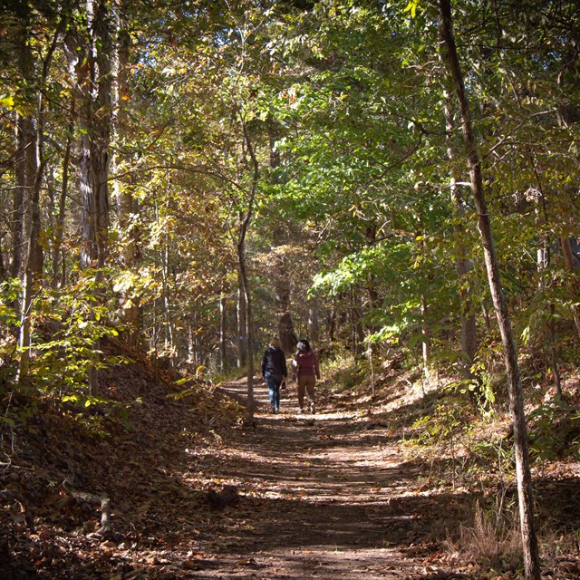
This is a short section of the Trail of Tears on one route, in one state, and in two counties. Consider that the Trail of Tears followed five routes across nine states by land and water. Here in northwest Arkansas, you can see and feel the trail. At times it is a modern environment since we still use this route of travel today. At other times it is ancient and haunting. Take a moment at each stop to discover what that places means for the experience the Cherokee had on the Trail of Tears. Think about all of the resources, the human needs, required to move groups of a thousand people each along this path. Then the pieces of the story told at each place – the historic road segments, a tavern, a valley with a spring and intersecting road, farmsteads, and a modern museum – begin to come together as a day in the life of a person walking the Trail of Tears. We can’t understand the depth and variety of emotions and experiences they had, but we can follow in their footsteps and commemorate the perseverance of a people who were ousted from their homelands and rebuilt a nation in a new land.
Narrow By Location
Narrow By Office
Show
10
40
Sort by
Relevance
Recently Updated
Date Released
Title
Loading results...
Tags:
[northwest arkansas itinerary](/media/article-search.htm?q=northwest arkansas itinerary)
Learn More
Explore history on the Trail
## Trail of Tears National Historic Trail

Learn more about historic trails!
Where this belongs
- Trail Of Tears National Historic Trail
Where this page came from
This page was imported from National Park Service. Produced by the U.S. National Park Service and, as a work of the United States government, in the public domain.
Nobody has written it yet — it is the source material at a new address, which is why search engines are asked to skip it and why no one earns from it. It is up for grabs: take it on, and it is yours to rewrite and to earn from.
收录于这些合集Trail Of Tears National Historic Trail
许可协议: CC0 1.0(公有领域) · 改编自 www.nps.gov
1
0
0
0

留言


