Etwas zu verbessern? Schlag eine Änderung vor.

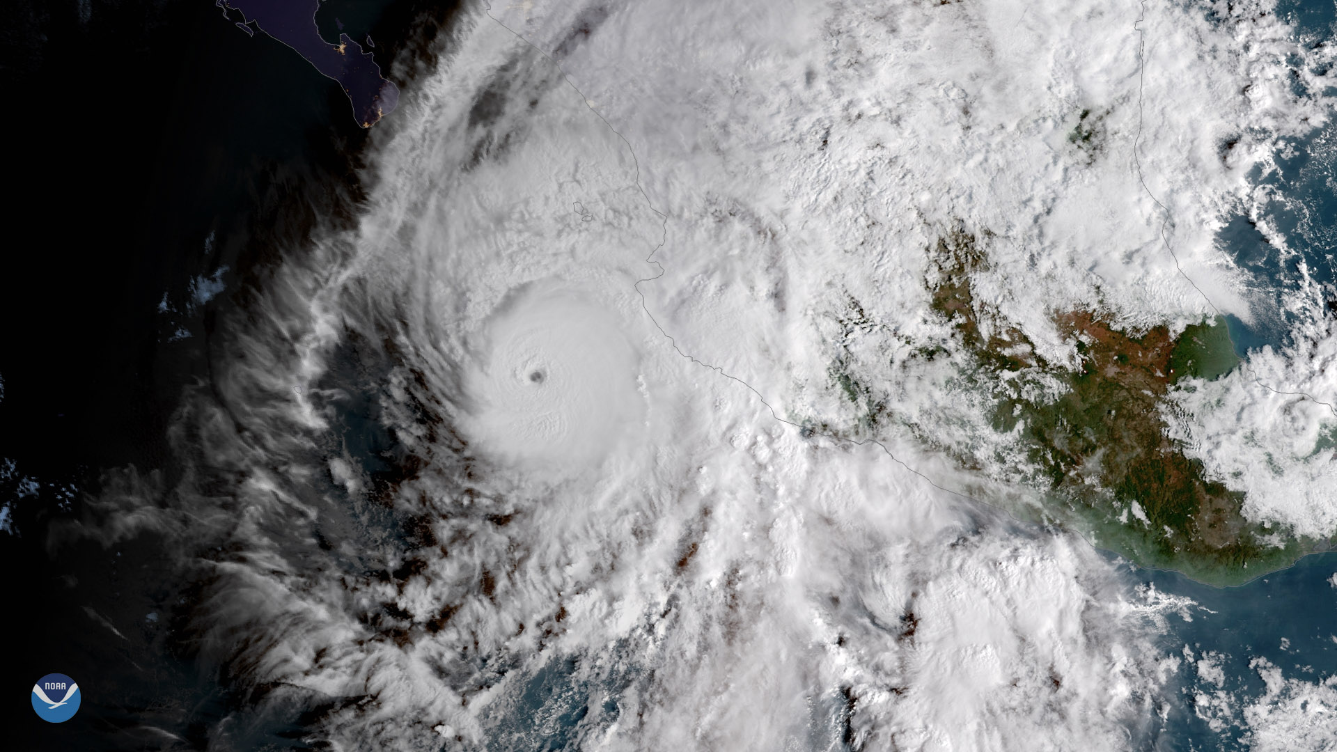
Download Image Download Image of Hurricane Willa
Powerful Hurricane Willa, the twenty-second named storm of the 2018 Eastern Pacific Hurricane Season, is on a collision course with Mexico's southwestern coast. This image of the storm, captured by GOES East at 10 a.m. EDT October 22, shows Willa moving northward toward Mexico shortly after sunrise local time.
Over the weekend, Willa rapidly intensified from a tropical storm to a Category 5 hurricane in just 48 hours. At 2 p.m. ET Monday (Oct. 22), the National Hurricane Center reported Willa had sustained winds of 160 mph. Willa is expected to unleash a combination of destructive waves and dangerous storm surge along the coast of southwestern Mexico by Tuesday evening, and dump up to 6 to 12 inches of rain, which will likely cause life-threatening flash flooding and landslides.
Willa is the tenth major hurricane (defined as a Category 3 storm or higher) to form in the eastern Pacific basin this year, and the third Category 5 hurricane after Hurricanes Lane and Walaka.
Where this page came from
This page was imported from NOAA Satellites (NESDIS). Published by NOAA's National Environmental Satellite, Data, and Information Service and, as a work of the United States government, in the public domain; pictures credited elsewhere are left out.
Nobody has written it yet — it is the source material at a new address, which is why search engines are asked to skip it and why no one earns from it. It is up for grabs: take it on, and it is yours to rewrite and to earn from.
Lizenz: CC0 1.0 (gemeinfrei) · Bearbeitet nach www.nesdis.noaa.gov
1
0
0
0

Kommentare