
Point Reyes National Seashore sits on the Point Reyes Peninsula in Marin County, California, near the San Francisco Bay metropolitan area. Its rocks offer an exceptional chance to study plate tectonics.
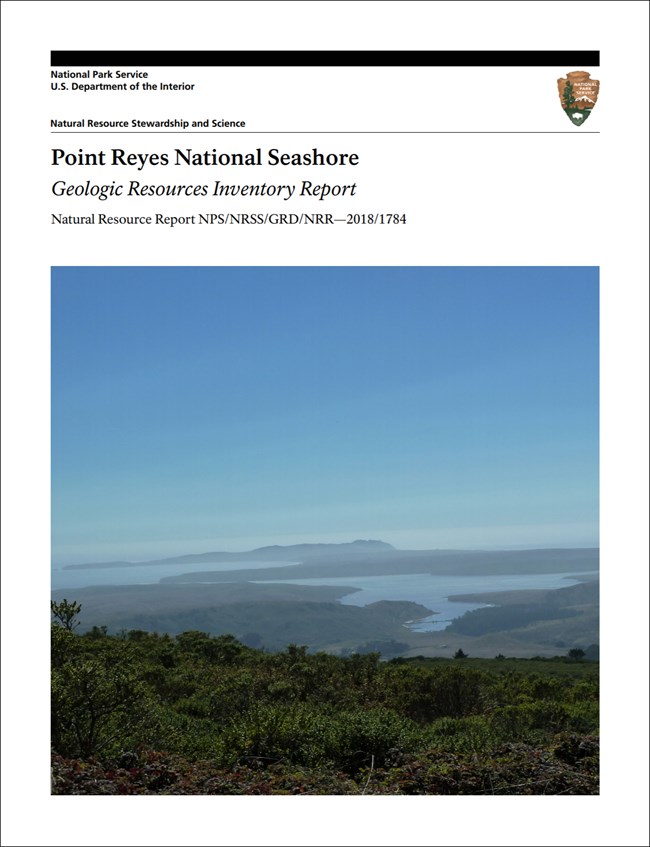
The park's Geologic Resources Inventory report. Credit: National Park Service.
The park
| Authorized | September 13, 1962 |
| Area | About 71,055 acres (28,755 hectares), including tidal and submerged lands out to a quarter mile offshore |
| Coastline | More than 80 miles, undeveloped |
| Trails | 147 miles of hiking trails, plus backcountry campgrounds |
| Life | More than 900 plant species, more than 490 bird species, at least 28 threatened and endangered species |
| People | More than 120 archeological sites documenting 5,000 years of human occupation and the long history of the Coast Miwok people in the Bay Area; about 400 historic structures, including the 1870 Point Reyes Lighthouse and two national historic landmarks — the Point Reyes Lifeboat Station and the Drakes Bay Historic and Archaeological District |
Its terrain takes in beaches, lagoons, coastal cliffs and headlands, marine terraces, coastal uplands, open grasslands, brushy hillsides and forested ridges.
A traveling peninsula
Point Reyes lies along the San Andreas Fault, and its rocks let geologists reconstruct Earth history along the fault. They fall into three main groups:
| Group | Rocks | Where |
|---|---|---|
| Metamorphic (Paleozoic and/or Mesozoic) | Metamorphic rocks | Along Inverness Ridge |
| Intrusive igneous (Cretaceous) | Granodiorite of Inverness Ridge, granodiorite of Point Reyes, tonalite of Tomales Point | The Point Reyes Headlands and parts of Inverness Ridge |
| Marine sedimentary (Cenozoic) | Eocene Point Reyes Conglomerate; Miocene Laird Sandstone, Monterey Formation, Santa Cruz Mudstone and Santa Margarita Formation; Miocene–Pliocene Purisima Formation; Pliocene–Pleistocene Merced Formation | Widespread across the peninsula |
The intrusive rocks came from a massive batholith in southern California and were moved to where they sit today by sideways motion along faults.
The youngest deposits are Quaternary landslides, alluvium, marine terrace deposits, dune and beach sand, and bay mud. Underneath it all, the Point Reyes syncline largely shapes the peninsula's valleys, ridges, rolling grasslands, sandy beaches and rocky points.
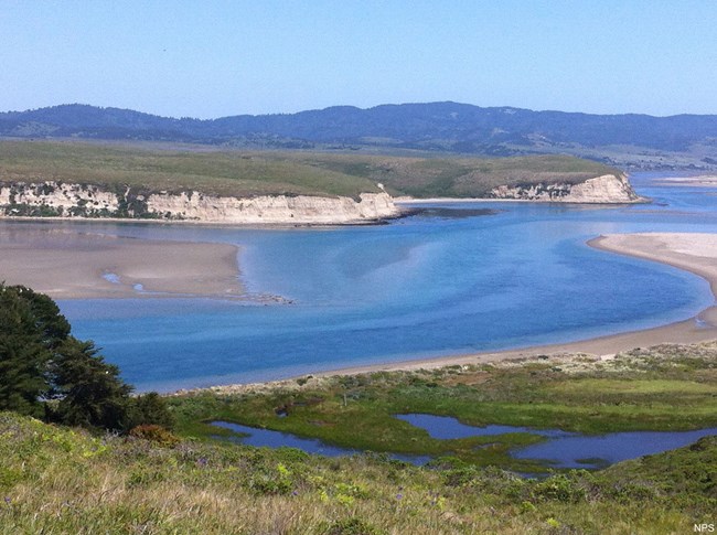
Drakes Harbor. Image from the National Park Service's Geodiversity Atlas page for Point Reyes National Seashore.
Regional setting
Point Reyes belongs to the Pacific Border physiographic province, sharing its geologic history with a region far larger than the park. The Geologic Resources Inventory, which produces digital geologic maps and reports for more than 270 natural resource parks, has published products for Point Reyes, and a Soil Resources Inventory has been completed for the park; both are on the NPS DataStore.
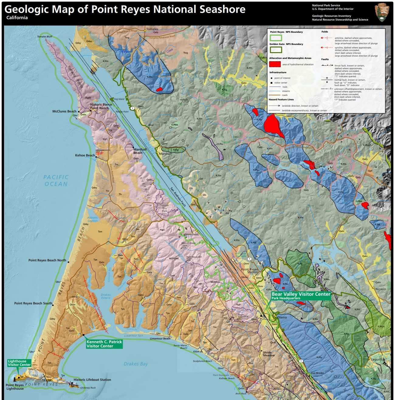
The park's geologic map. Credit: National Park Service.
Sources
Based on "NPS Geodiversity Atlas—Point Reyes National Seashore, California," National Park Service; a work of the United States government in the public domain.
In these collectionsPoint Reyes National Seashore
Licence: CC0 1.0 (public domain) · Adapted from www.nps.gov
1
0
0
0

Comments


