
¿Quieres mejorar el contenido de la página? Propón un cambio.
Geodiversity is the full range of a park's geologic resources — rocks, minerals, sediments, fossils, landforms and the processes that shape them — together with its soils. The National Park Service's Geodiversity Atlas, produced by the Geologic Resources Inventory, collects that information for education, geoconservation and the joint management of each park's living and non-living resources.
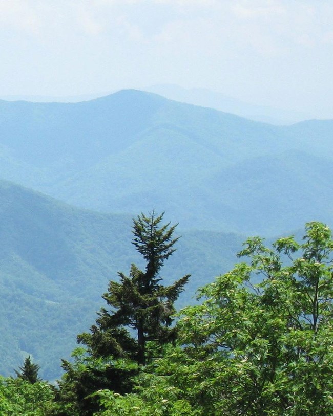
Valleys and ridges seen from the trail. Image from the National Park Service's page.
The trail
- The Appalachian National Scenic Trail is a 3,523-km (2,189-mile) public footpath through the wild, wooded, pastoral and culturally rich landscapes of the Appalachian Mountains.
- It crosses 14 states: Connecticut, Georgia, Maine, Maryland, Massachusetts, New Hampshire, New Jersey, New York, North Carolina, Pennsylvania, Tennessee, Vermont, Virginia and West Virginia.
- Established on October 2, 1968, it was one of the Park Service's first national scenic trails and covers about 95,494 hectares (235,973 acres).
- It is the longest continuously marked, maintained and publicly protected trail in the United States, running from Springer Mountain, Georgia, to Mount Katahdin, Maine.
- Its varied terrain, ecosystems and viewpoints offer people of all ages and abilities enjoyment, inspiration, learning, challenge and adventure.
Geologic setting
The trail follows some of the Appalachians' highest ridgelines and crosses the richest assemblage of geologic units in the entire national park system.
- It passes through three of the provinces that make up the Appalachians: the Blue Ridge, the Valley and Ridge and the New England provinces. In the south, it follows the axis of the Blue Ridge, with views and detours into the Valley and Ridge and the Piedmont; in the north, it crosses the New England province.
- Its bedrock includes all three major rock types, ranging in age from the Precambrian through the Paleozoic, with small Jurassic intrusions in New Hampshire.
- Many of its rock units are shared with other parks along the way, such as Great Smoky Mountains, Shenandoah, Delaware Water Gap and Harpers Ferry.
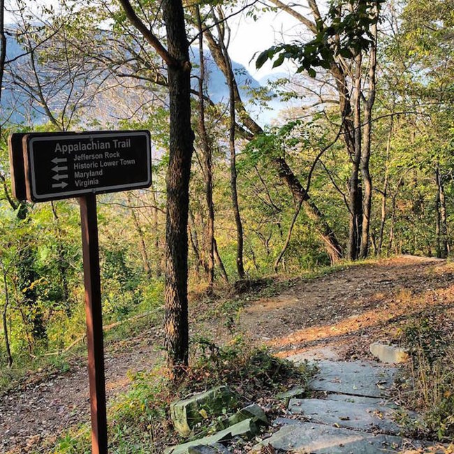
A trail junction and sign. Image from the National Park Service's page.
Maps and reports
The Geologic Resources Inventory produces digital geologic maps and reports for more than 270 natural resource parks — scoping summaries, GIS maps, reports, posters and project overviews, available through the NPS DataStore.
Sources
Based on "NPS Geodiversity Atlas—Appalachian National Scenic Trail," National Park Service; a work of the United States government in the public domain.
En estas coleccionesAppalachian National Scenic Trail
Licencia: CC0 1.0 (dominio público) · Adaptado de www.nps.gov
1
0
0
0

Comentarios


