
¿Ves algo que mejorar? Propón un cambio.
Allegheny Portage Railroad National Historic Site in Pennsylvania owes its existence to geology. This summary draws on the National Park Service's Geodiversity Atlas, part of the Geologic Resources Inventory, which describes the full range of rocks, minerals, sediments, fossils, landforms, soils and physical processes in each park.
A mountain barrier
The park stretches 59 km (37 mi) through the Allegheny Mountains in Blair and Cambria Counties, where elevations range from 346 m (1,135 ft) to 734 m (2,408 ft). Before the railroad, these mountains blocked boat traffic between the eastern and western divisions of the Pennsylvania Mainline Canal. Once it was built, the railroad carried the boats over mountain slopes steeper than 5 degrees.
The park's main unit sits on the divide between the Chesapeake Bay watershed to the east and the Ohio River basin to the west. Blair Gap Run flows from Cresson Summit toward the Juniata River and Bradley Run toward the West Branch of the Susquehanna, on the Chesapeake side; on the Ohio side, water runs parallel to the Little Conemaugh River.
The Allegheny Front
The Allegheny Front is a sharp escarpment dividing the Appalachian Plateaus from the Valley and Ridge physiographic province. It runs from northern Pennsylvania into southeastern West Virginia — roughly 280 km (174 mi) long, with about 610 m (2,000 ft) of elevation change. It long stood in the way of east-west trade and travel, and it is the reason the railroad was built.
The two sides look very different:
| East of the front | West of the front |
|---|---|
| rounded, linear hills cut by narrow valleys, stepping up to the escarpment | rolling hills sloping away from the escarpment |
| rocks heavily folded, faulted and deformed by the Alleghenian orogeny | rocks barely deformed, lying in flat layers much as they were deposited |
The front is made mostly of sandstone (with some conglomerate), siltstone and shale. In Pennsylvania its landmarks include Blue Knob, Horse Shoe Curve, Hunter Rocks, Turtle Rocks, Wolf Rocks and Wopsononock Lookout.
Fossils
Fossils have been recorded from the Pottsville and/or Allegheny Formations inside the park. Other formations in the park are known elsewhere to contain fossils, though none have been reported from within its boundaries. Rocks in the area record life from its beginnings — fossil algae called stromatolites — through the evolution of land plants to the mass extinction after the Permian Period. All fossils in national parks are protected by the Paleontological Resources Preservation Act of 2009.
Geohazards
Landslides, slumping, chemical weathering, block sliding and slope creep keep reshaping the park, and runoff carries sediment from open ground into streams and gullies, wearing down high ground, filling low ground and changing the historic landscape.
The park's rocks are a mix of shale, sandstone, siltstone, limestone, dolomite, conglomerate and mudstone. Clay-rich shale and mudstone can break down when soaked and tend to fail on steep slopes. Where tougher sandstone or limestone sits on weaker rock, erosion can undercut it and cause rockfalls.
Caves and karst
The park holds thin-bedded limestones of Mississippian and Pennsylvanian age, about 300 million years old, with solution features that indicate karst. Springs and seeps in the Summit Unit — possibly karst-related — form the headwaters of Blair Gap Run, a pristine stream prized for its native trout. Caves on park land are protected by the Federal Cave Resources Protection Act of 1988.
Abandoned coal mines
The park has 19 abandoned mine features, with 9 more just outside its boundary, all from underground coal mining: adits, seeps, subsidence into old workings, iron precipitate mounds and waste rock piles. Mines within and upstream of the park produce acid mine drainage, and heavy metals linger in groundwater, surface water and soil; stream sediments can carry metals and other wastes. Such sites can be cultural resources and habitat, but many are dangerous — visitors should stay out of them.
Regional setting and further data
The park lies in the Appalachian Plateaus physiographic province, sharing its geologic history and several formations with the wider region. The Geologic Resources Inventory has produced digital geologic maps and reports for more than 270 natural resource parks, and a Soil Resources Inventory has been completed for this park; both are on the NPS DataStore.
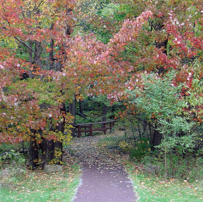
Park trail, Allegheny Portage Railroad NHS. NPS photo.
Sources
- National Park Service: "NPS Geodiversity Atlas—Allegheny Portage Railroad National Historic Site, Pennsylvania."
- Cited within it: Whitfield and others (2001), on the rocks of the Allegheny Front.
En estas publicacionesAllegheny Portage Railroad National Historic Site
Licencia: CC0 1.0 (dominio público) · Adaptado de www.nps.gov
1
0
0
0

Comentarios


