¿Ves algo que mejorar? Propón un cambio.

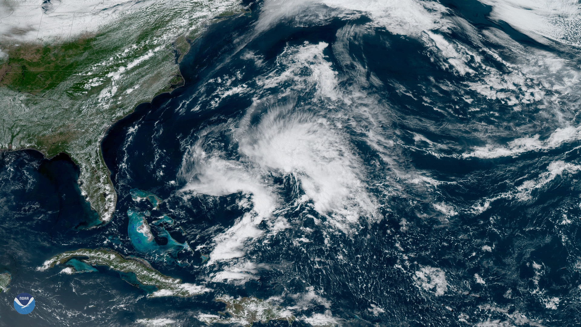
Download Image Download Image of Tropical Storm Andrea
It’s official: Subtropical Storm Andrea is the first named storm of the 2019 Atlantic Hurricane Season.
“Data from an Air Force Reserve reconnaissance aircraft indicate that the low-pressure system located several hundred miles southwest of Bermuda has become a subtropical storm,” the National Hurricane Center (NHC) said in an advisory on Monday.
Subtropical Storm Andrea, seen here in the western Atlantic by GOES East on May 20, 2019, had maximum sustained winds of 40 mph and was located nearly 300 miles west-southwest of Bermuda, according to the NHC. Andrea has weakened to a subtropical depression today (May 21) with maximum sustained winds of 35 mph. It is expected to weaken further to a remnant low by tonight.
This marks the fifth year in a row where the first named storm has developed before the official start of the Atlantic hurricane season, which runs from June 1 to November 30. With Andrea having formed, the next storm to develop will be called Barry.
Where this page came from
This page was imported from NOAA Satellites (NESDIS). Published by NOAA's National Environmental Satellite, Data, and Information Service and, as a work of the United States government, in the public domain; pictures credited elsewhere are left out.
Nobody has written it yet — it is the source material at a new address, which is why search engines are asked to skip it and why no one earns from it. It is up for grabs: take it on, and it is yours to rewrite and to earn from.
Licencia: CC0 1.0 (dominio público) · Adaptado de www.nesdis.noaa.gov
1
0
0
0

Comentarios