In the 1840s the Arkansas River was the border between territory claimed by the United States and Mexico. Located along the river, Bent's Fort was an adobe trading post on the Santa Fe Trail, where traders, trappers, travelers, and the Cheyenne and Arapaho tribes came together in peaceful terms for trade. Today, a reconstructed fort allows visitors to explore the front line of Westward Expansion.
Where it is
National Historic Site, CO.
What people do there
- Arts and Culture
- Craft Demonstrations
- Cultural Demonstrations
- Biking
- Road Biking
- Guided Tours
- Self-Guided Tours - Walking
- Hiking
- Living History
- Junior Ranger Program
- Wildlife Watching
- Birdwatching
Getting there
The park is accessed via U.S. Highway 50 and Highway 194. From La Junta, Colorado on U.S. Highway 50, take Colorado Highway 109 north 1 mile to Colorado Highway 194, then east on Colorado Highway 194 six miles to the fort. From Las Animas, Colorado, on U.S. Highway 50, take Colorado Highway 194 west 13 miles. Set your GPS to 35110 State Highway 194 E., La Junta, CO.
Weather
Summer temperatures are often in the high 90s and low 100s. Weather is generally fair in the fall and spring. Winter temperatures can be below freezing. Most of the replica fort is unheated and does not have modern cooling systems, so dress accordingly.
Where this page came from
This page was imported from U.S. National Park Service. Material produced by the National Park Service is in the public domain.
Nobody has written it yet — it is the source material at a new address, which is why search engines are asked to skip it and why no one earns from it. It is up for grabs: take it on, and it is yours to rewrite and to earn from.
ライセンス: CC0 1.0(パブリックドメイン) · 出典 www.nps.gov
1
0
0
0

コメント
次に読む
- Planetary NebulaThe Ring Nebula's distinctive shape makes it a popular illustration for astronomy books. But new observations by NASA's Hubble Space Telescope of the glowing gas shroud around an old, dying, sun-like star reveal a new twist. "The nebula is not like a bagel, but rather, it's like a jelly doughnut, be

- Doradus NebulaA panoramic view of a vast, sculpted area of gas and dust where thousands of stars are being born has been captured by NASA's Hubble Space Telescope. The image, taken by Hubble's Wide Field and Planetary Camera 2, is online at The camera was designed and built by NASA's Jet Propulsion Laboratory, Pa
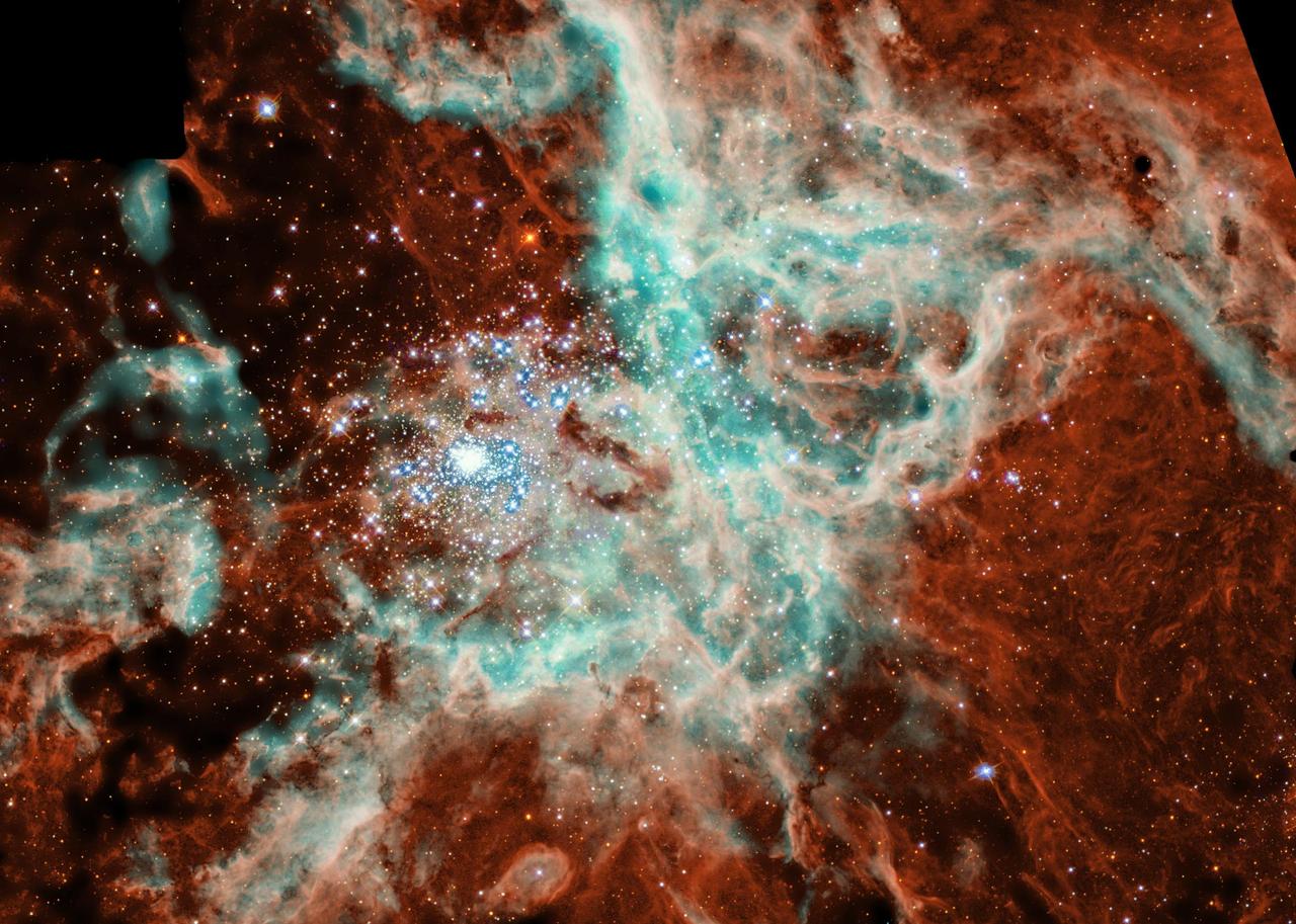
- The Tarantula NebulaNASA Spitzer Space Telescope, formerly known as the Space Infrared Telescope Facility, has captured in stunning detail the spidery filaments and newborn stars of theTarantula Nebula, a rich star-forming region also known as 30 Doradus. This cloud of glowing dust and gas is located in the Large Magel