
It's the first detailed application of the Coastal and Marine Ecological Classification Standard (CMECS) in rocky intertidal areas of Maine.
By the editors of Park Science magazine
###
About this article
This article was originally published in the "Research Roundup" section of Park Science magazine, Volume 39, Number 1, Winter 2024-25 (January 15, 2025).
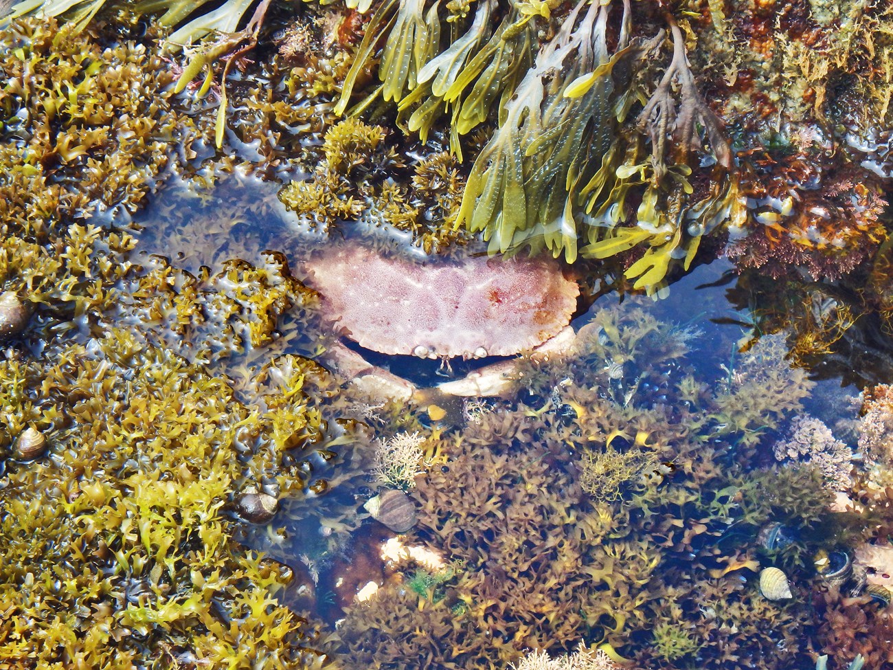
Jonah crab hiding in rocky intertidal habitat in Acadia National Park. Image credit: NPS / Crystal Lewis
Coastal areas in the U.S. get some really big, complex storms every year. It can be a mind-boggling task to study them and assess their impacts on the marine environment. That’s where the Coastal and Marine Ecological Classification Standard (CMECS) comes in. It's like a huge field guide for identifying and classifying ocean life forms and the environments they inhabit. Scientists can use CMECS to help them create detailed maps of the sea floor. Such maps have many uses, one of which is helping researchers detect what’s changed as a result of extreme weather.
Winter 2024-25 Issue
Park Science Magazine Read more Research Roundup articles
After Hurricane Sandy smacked the East Coast in 2012, scientists mapped coastal habitats in four U.S. national parks in the Northeast. But all of these had soft, sandy coastlines, unlike the rocky ones in more northern states. As described in the October 2024 issue of Geosciences, scientists expanded the national park dataset to include the rocky coastlines of Acadia National Park in Maine. Their goal was to provide a template for describing rocky coastal habitats in the northeastern U.S. Their work is the first detailed application of the CMECS in rocky intertidal areas of Maine.
Oakley and others. 2024. Application of the Coastal and Marine Ecological Classification Standard (CMECS) to Create Benthic Geologic Habitat Maps for Portions of Acadia National Park, Maine, USA. Geosciences 14: 256.
Where this belongs
- Acadia National Park
Where this page came from
This page was imported from National Park Service. Produced by the U.S. National Park Service and, as a work of the United States government, in the public domain.
Nobody has written it yet — it is the source material at a new address, which is why search engines are asked to skip it and why no one earns from it. It is up for grabs: take it on, and it is yours to rewrite and to earn from.
이 페이지가 속한 컬렉션Acadia National Park
이용 허락: CC0 1.0 (퍼블릭 도메인) · 출처 www.nps.gov
1
0
0
0

코멘트


