
Want to improve the page's content? Try to propose a change.
On This Page Navigation
Geodiversity refers to the full variety of natural geologic (rocks, minerals, sediments, fossils, landforms, and physical processes) and soil resources and processes that occur in the park. A product of the Geologic Resources Inventory, the NPS Geodiversity Atlas delivers information in support of education, Geoconservation, and integrated management of living (biotic) and non-living (abiotic) components of the ecosystem.
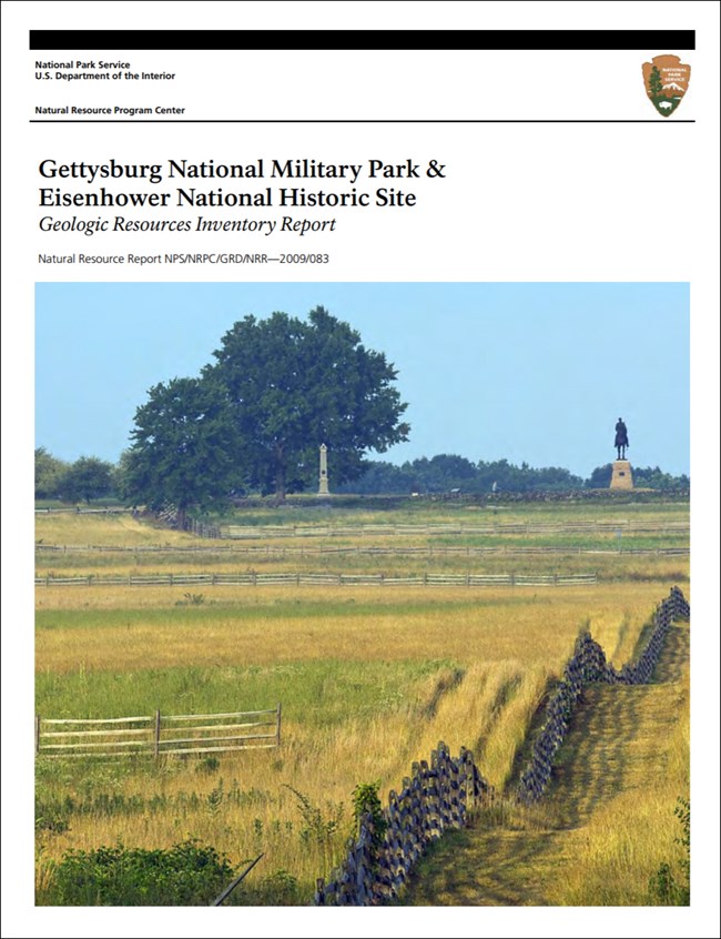
In-depth geologic information is contained in the baseline inventory products of the Geologic Resources Inventory, see table below.
Geologic Features and Processes
In 1967, two years before his death, General Dwight D. Eisenhower donated his 76-ha (189-ac) home to the National Park Service in order that it would become a national historic site. An act of Congress authorized the site on December 2, 1969, during the Johnson administration, to commemorate Eisenhower, the 34th president and World War II commander. Eisenhower’s farm now sits amidst 280 ha (690 ac) of federally protected pastoral fields, meadows, riparian areas, and oak-hickory forest on the southwestern side of the Gettysburg battleground.
The rural, idyllic landscape at Eisenhower National Historic Site contains flat open fields and pastures dissected by rolling hills, forested areas, meadows, wetlands, riparian zones, vernal pools, and local stream valleys such as Marsh Creek and Willoughby Run. The geologic units at the site are generally flat lying and undeformed red shales, sandstones, and thin limestone beds with surface variations due to erosion and incising of rivers through these nearly horizontal layers. The westerly view from Eisenhower’s farm includes Culp Ridge, Green Ridge, South Mountain, Jacks Mountain, and Piney Mountain.
Geologic Setting
In the area of Gettysburg National Military Park and Eisenhower National Historic Site, the eastern United States is divided into 5 physiographic provinces with associated local subprovinces. These provinces are, from east to west, the Atlantic Coastal Plain, the Piedmont, the Blue Ridge, the Valley and Ridge, and the Appalachian Plateaus. The two NPS units are part of the Piedmont physiographic province, which encompasses the Fall Line westward to the Blue Ridge Mountains. The Fall Line is a significant geographical and geological location that separates the Coastal Plain and Piedmont provinces; rapids and waterfalls in the rivers and streams that cross the Fall Line clearly mark this boundary. The eastward-sloping Piedmont Plateau formed through a combination of folds, faults, uplifts, and erosion. The resulting landscape is a series of gently rolling hills starting at 60 m (200 ft) in elevation becoming gradually steeper and higher (300 m [980 ft] above sea level) toward the western edge of the province. The Piedmont Plateau is composed of hard crystalline, igneous, and metamorphic rocks such as schists, phyllites, slates, gneisses, and gabbros.
More specifically, Gettysburg is located in a Triassic rift basin superposed on the Piedmont as part of the Triassic Lowland section also known as the Gettysburg-Newark Lowland section. The Gettysburg basin is one of a series of basins that intermittently fringe the boundary between the Blue Ridge and Piedmont along the length of the Appalachian Mountains from Nova Scotia to South Carolina—a distance of 2,000 km (1,200 mi). The basin formed during the Mesozoic Era as an intermountain basin during a tensional tectonic event. It trends northeast-southwest and is about 225 km (140 mi) long, 6–50 km (4–30 mi) wide, and 5 km (3 mi) deep. The rocks in the basin are mostly gently dipping sedimentary sandstones, siltstones, and shales with igneous intrusive diabase sills, dikes, and irregular igneous bodies, as well as basalt flows. A depositional contact and topographic change define the boundary between the Gettysburg basin and the Piedmont Plateau; the rolling hills of the Piedmont change to relatively flat ground in the basin. A normal fault system sharply delineates the western boundary of the basin, west of which lies the Blue Ridge province. The sedimentary strata within the basin dip towards the western border fault.
Regional Geology
Eisenhower National Historic Site is a part of the Piedmont Physiographic Province and shares its geologic history and some characteristic geologic formations with a region that extends well beyond park boundaries.
Maps and Reports

Geologic Resources Inventory
The Geologic Resources Inventory produces digital geologic maps and reports for more than 270 natural resource parks. The products listed below are currently available for this park, check back often for updates as many maps, reports, and posters are still in progress.
Scoping summaries are records of scoping meetings where NPS staff and local geologists determined the park’s geologic mapping plan and what content should be included in the report.
- Digital geologic maps include files for viewing in GIS software, a guide to using the data, and a document with ancillary map information. Newer products also include data viewable in Google Earth and online map services.
- Reports use the maps to discuss the park’s setting and significance, notable geologic features and processes, geologic resource management issues, and geologic history.
- Posters are a static view of the GIS data in PDF format. Newer posters include aerial imagery or shaded relief and other park information. They are also included with the reports.
- Projects list basic information about the program and all products available for a park.
Source: NPS DataStore Saved Search 2816. To search for additional information, visit the NPS DataStore.
Soil Resources inventory
A NPS Soil Resources Inventory project has been completed for Eisenhower National Historic Site and can be found on the NPS Data Store.
Source: NPS DataStore Saved Search 2823. To search for additional information, visit the NPS DataStore.
Related Links
Eisenhower NHS—Rivers and Streams
Pennsylvania Geological Survey
Eisenhower National Historic Site
Narrow By Location
Narrow By Office
Show
10
40
Sort by
Relevance
Recently Updated
Date Released
Title
Loading results...
Tags:
geodiversity
,
geologic
,
[geologic forces](/media/article-search.htm?q=geologic forces)
,
[geologic resources](/media/article-search.htm?q=geologic resources)
,
[geologic feature](/media/article-search.htm?q=geologic feature)
,
[geologic time](/media/article-search.htm?q=geologic time)
,
[geologic layers](/media/article-search.htm?q=geologic layers)
,
[geologic history](/media/article-search.htm?q=geologic history)
,
[geologic formations](/media/article-search.htm?q=geologic formations)
,
geology
,
geological
,
[geological maps](/media/article-search.htm?q=geological maps)
,
geologist
,
[geology talk](/media/article-search.htm?q=geology talk)
,
[geology hike](/media/article-search.htm?q=geology hike)
,
[geology science and learning](/media/article-search.htm?q=geology science and learning)
,
geologists
,
[geology close up](/media/article-search.htm?q=geology close up)
,
[geologic resources inventory](/media/article-search.htm?q=geologic resources inventory)
,
geoheritage
,
geohazards
,
geomorphology
,
[geoscientists in parks](/media/article-search.htm?q=Geoscientists in Parks)
,
geoscientists-in-the-parks
,
[geological survey](/media/article-search.htm?q=Geological Survey)
,
geothermal
,
[geothermal activity](/media/article-search.htm?q=geothermal activity)
,
geotour
,
geotourism
,
[geothermal processes & features](/media/article-search.htm?q=geothermal processes & features)
,
fossils
,
paleontology
,
caves
,
karst
,
glaciers
,
[geoheritage sites](/media/article-search.htm?q=geoheritage sites)
,
earthquakes
,
landslides
,
mining
National Park Service Geodiversity Atlas
The servicewide Geodiversity Atlas provides information on geoheritage and geodiversity resources and values within the National Park System. This information supports science-based geoconservation and interpretation in the NPS, as well as STEM education in schools, museums, and field camps. The NPS Geologic Resources Division and many parks work with National and International geoconservation communities to ensure that NPS abiotic resources are managed using the highest standards and best practices available.
Where this belongs
- Eisenhower National Historic Site
Where this page came from
This page was imported from National Park Service. Produced by the U.S. National Park Service and, as a work of the United States government, in the public domain.
Nobody has written it yet — it is the source material at a new address, which is why search engines are asked to skip it and why no one earns from it. It is up for grabs: take it on, and it is yours to rewrite and to earn from.
In these collectionsEisenhower National Historic Site
Licence: CC0 1.0 (public domain) · Adapted from www.nps.gov
1
0
0
0

Comments
Read next


