
Casa Grande Ruins National Monument lies about 72 km (45 mi) southeast of downtown Phoenix, in Pinal County, Arizona. The National Park Service's Geodiversity Atlas — part of its Geologic Resources Inventory — gathers what is known about the monument's rocks, sediments, landforms, soils and the processes behind them, for teaching, geoconservation and managing living and non-living resources together.
The monument
| First protected | March 2, 1889, as the Casa Grande Ruin Reservation |
| Redesignated | August 3, 1918 |
| Size | about 191 hectares (473 acres) |
| Purpose | to preserve and interpret the Casa Grande and nearby features of prehistoric interest |
The Casa Grande — Spanish for "great house," a name given by early Spanish explorers — is a four-story, 18 m (60 ft)-long building with earthen walls. It was built by the Ancestral Sonoran Desert People (the Hohokam culture), who lived in the Gila Valley in the early 13th century.
- It is the only surviving multi-story, free-standing earthen Great House of the Hohokam.
- Its builders used more than 3,000 tons of local caliche — a concrete-like mix of sand, clay and limestone — and hundreds of juniper, pine and other trees as structural anchors.
- Around it are 62 documented prehistoric sites, including a ballcourt, a platform mound and irrigation canals — traces of one of North America's most extensive prehistoric irrigation-farming desert societies.

Ranger-guided tour of the Great House ruins. NPS photo
The geology
Basin and range. The monument is in the Sonoran Desert part of the Basin and Range province, near its transition to the high, undeformed Colorado Plateaus. Basin and Range country is horst and graben: extensional normal faults dropped basins (grabens) between raised mountain ranges (horsts), leaving long, tilted, asymmetrical ranges and broad basins between them. Casa Grande sits in the down-dropped Picacho Basin.
Built on the river's past. The ground beneath the monument is entirely Pleistocene river terrace and alluvium deposits — loose gravel, sand, silt and clay — left by the Gila River. The terrace's age shows the river flowed across the monument area roughly 130,000–10,000 years ago. Around the monument lie younger Holocene river deposits, with scattered outcrops of Proterozoic granite to the northeast.
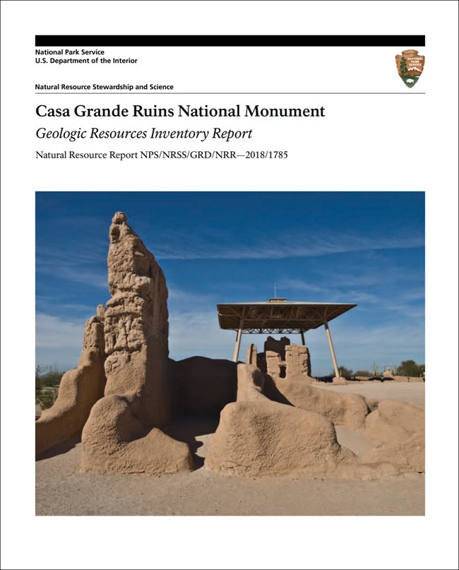
Image from the National Park Service's Geodiversity Atlas page for Casa Grande Ruins

Image from the National Park Service's Geodiversity Atlas page for Casa Grande Ruins
Maps and inventories
The Geologic Resources Inventory makes digital geologic maps and reports for more than 270 natural resource parks — a scoping summary, GIS map data, a report on the park's geology and management issues, and a poster — and a Soil Resources Inventory for Casa Grande is also complete. Both are on the NPS DataStore.
Sources
Based on "NPS Geodiversity Atlas—Casa Grande Ruins National Monument, Arizona," National Park Service; a work of the United States government in the public domain.
In these publicationsCasa Grande Ruins National Monument
Licence: CC0 1.0 (public domain) · Adapted from www.nps.gov
1
0
0
0

Comments


