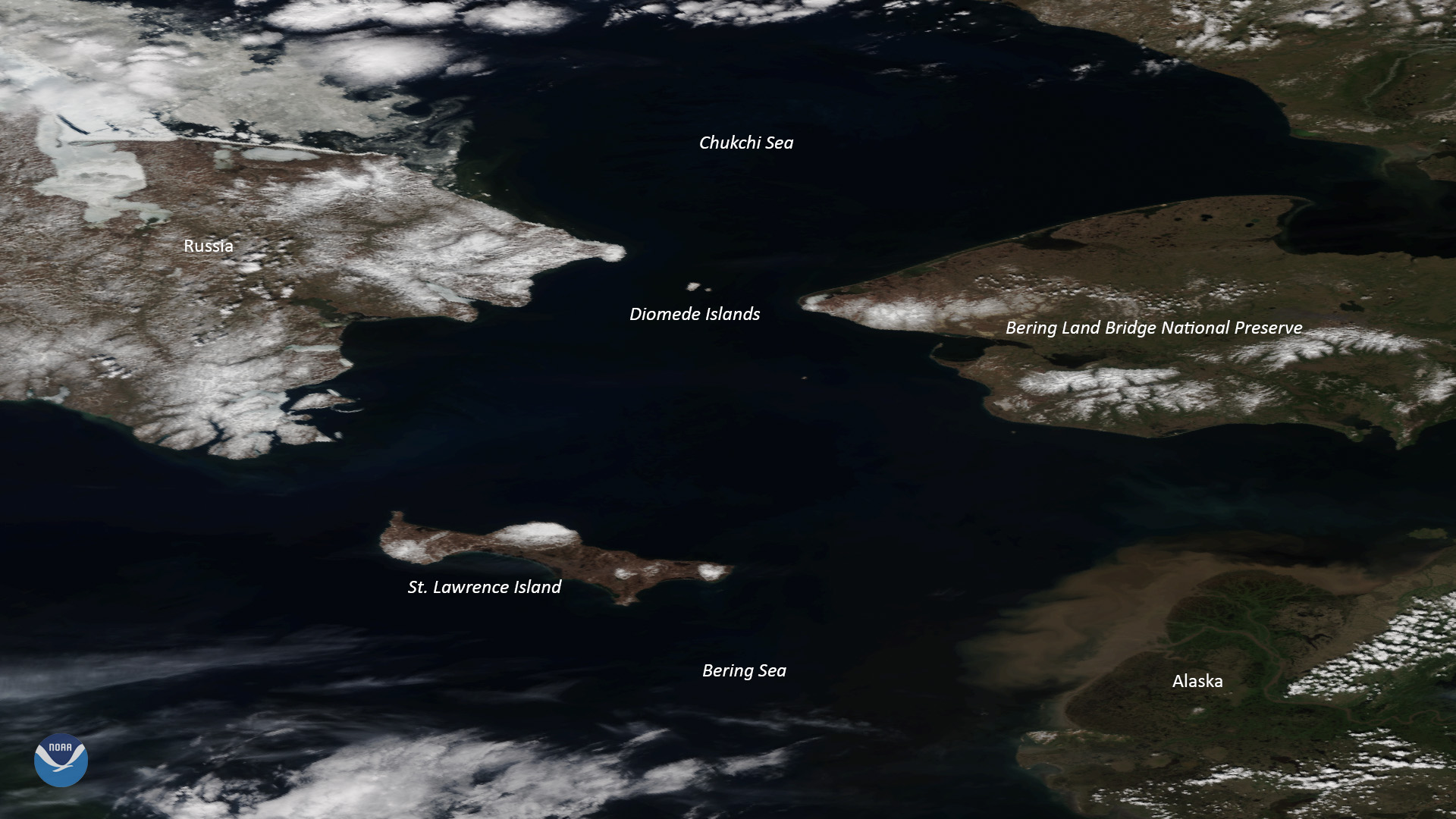
Download Image Download Image of the Bering Sea
Clear skies over Alaska allowed NOAA-20 to capture this stunning view of the Bering Land Bridge National Preserve on June 13, 2019. This 2.7 million-acre preserve, located on the Seward Peninsula in northwest Alaska, is one of the most remote national parks in the United States.
The preserve was established by the Alaska National Interest Lands Conservation Act on Dec. 2, 1980, to protect the land bridge, also known as Beringia, according to the National Park Service (NPS). While the majority of the land bridge now lies beneath the Bering and Chukchi Seas, some 10,000 years ago it served as a migration route between East Asia and North America.
Back then, people often “followed herds of large mammals (many of them now extinct) to hunt for food and shelter, all the while expanding their civilization and possibly unknowingly populating a new world,” NPS notes.
Today, only a few parts of the central land bridge, including the Diomede Islands, the Pribilof Islands of St. Paul and St. George, St. Lawrence Island, and King Island remain visible.
Where this page came from
This page was imported from NOAA Satellites (NESDIS). Published by NOAA's National Environmental Satellite, Data, and Information Service and, as a work of the United States government, in the public domain; pictures credited elsewhere are left out.
Nobody has written it yet — it is the source material at a new address, which is why search engines are asked to skip it and why no one earns from it. It is up for grabs: take it on, and it is yours to rewrite and to earn from.
Licence: CC0 1.0 (public domain) · Adapted from www.nesdis.noaa.gov
1
0
0
0

Comments