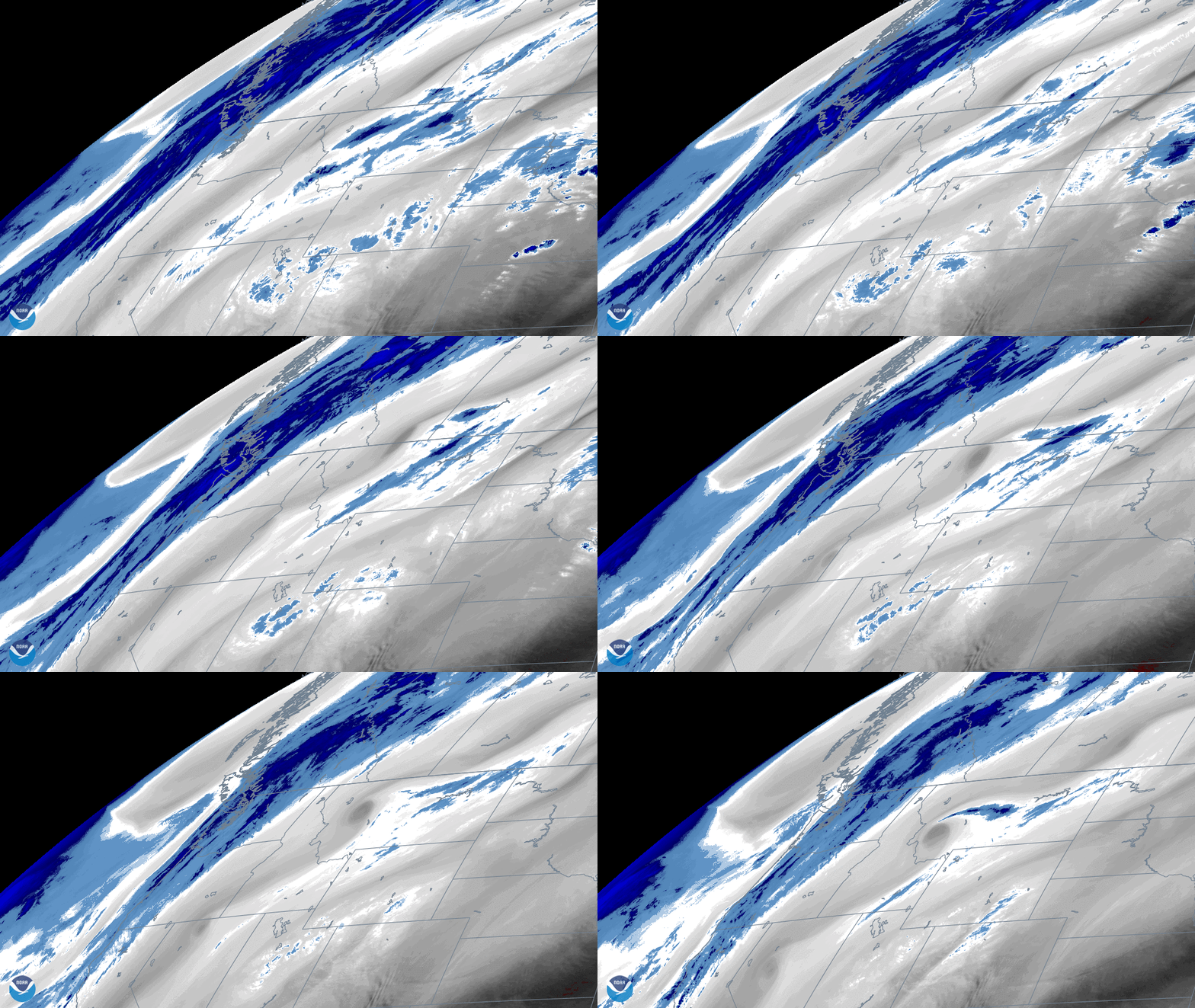
On November 9, 2020, the Upper Level Tropospheric Water Vapor band (or band 8) on NOAA’s GOES-East satellite viewed an atmospheric wave pattern brought on by a digging trough in the Pacific Northwest. Band 8 is one of three water vapor bands on the Advanced Baseline Imager (or ABI), and is used for tracking upper-level winds, identifying jet streams, and estimating upper/mid-level moisture, among other things.
This trough has been bringing winter weather to parts of Oregon, Washington, and Montana. In Portland, six to 12 inches of snow was expected for elevations above 3000 feet. Additionally, strong wind gusts and blowing snow were predicted for the northern Blue Mountains and Cascades of Washington, as well as Montana’s Rocky Mountain front.
The GOES-East geostationary satellite, also known as GOES-16, keeps watch over most of North America, including the continental United States and Mexico, as well as Central and South America, the Caribbean, and the Atlantic Ocean to the west coast of Africa. The satellite's high-resolution imagery provides optimal viewing of severe weather events, including thunderstorms, tropical storms, and hurricanes.
Where this page came from
This page was imported from NOAA Satellites (NESDIS). Published by NOAA's National Environmental Satellite, Data, and Information Service and, as a work of the United States government, in the public domain; pictures credited elsewhere are left out.
Nobody has written it yet — it is the source material at a new address, which is why search engines are asked to skip it and why no one earns from it. It is up for grabs: take it on, and it is yours to rewrite and to earn from.
Licence: CC0 1.0 (public domain) · Adapted from www.nesdis.noaa.gov
1
0
0
0

Comments