Download Image Image of the earth
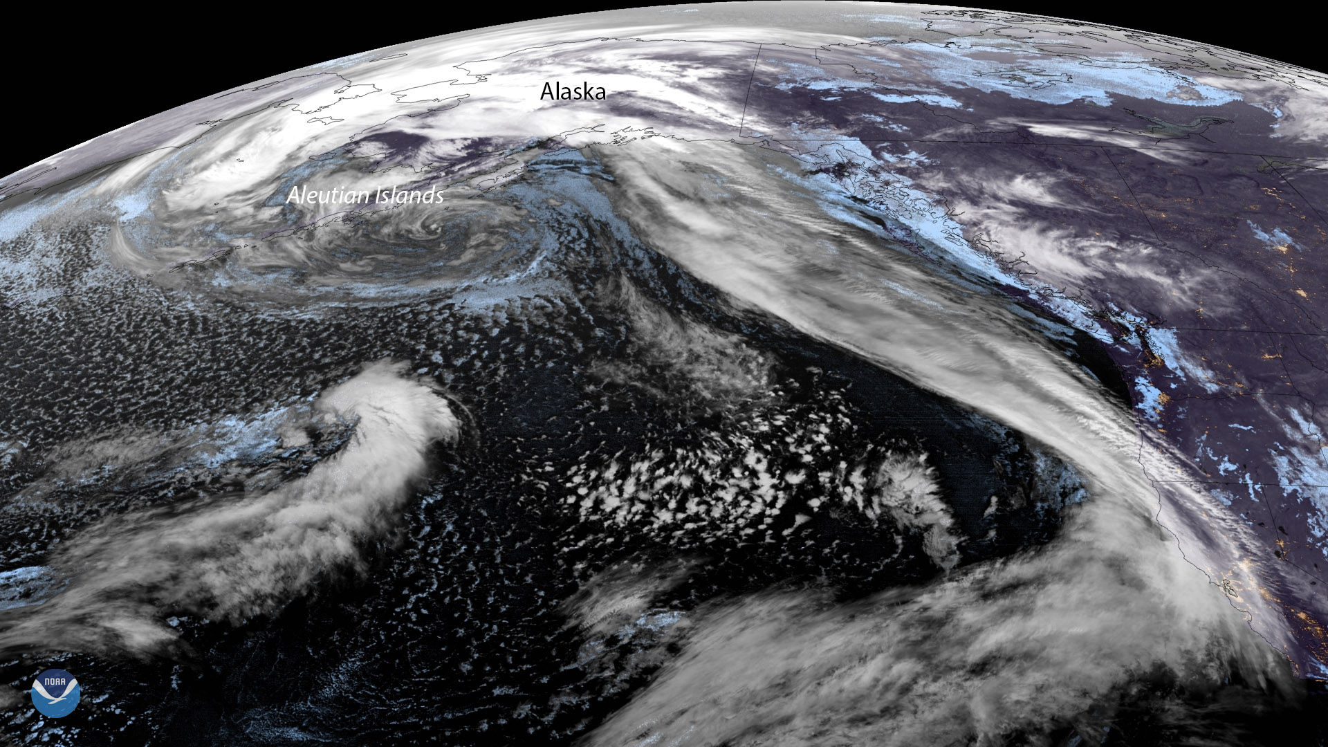
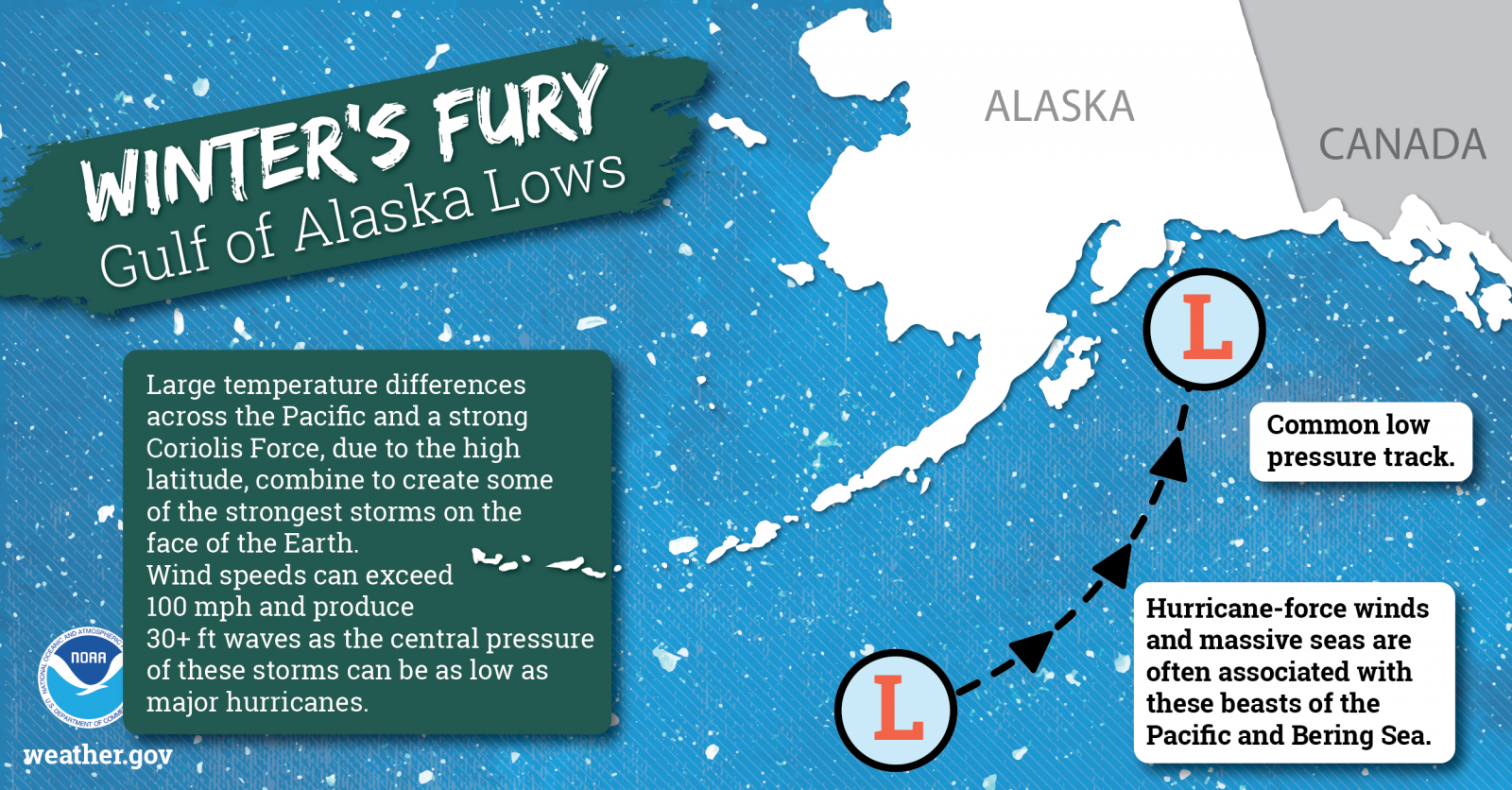
An impressive low-pressure system that stretches 3,000 miles from the Gulf of Alaska to the Hawaiian Islands is intensifying just off the coast of the Aleutian Islands. This pre-sunrise view captured by GOES West on March 22, 2019, at 9:10 a.m. ET shows what’s known as an Aleutian Low, which gets its name from its proximity to Alaska’s Aleutian Islands. Most active during the late fall to late spring, the Gulf of Alaska is an area where low-pressure systems often reach “maximum intensity.”

Credit: National Weather Service
This hurricane-force low-pressure system will bring storm force winds of 65-74 mph, as well as high seas to the Gulf of Alaska on Friday. According to the National Weather Service’s Weather Prediction Center , a front associated with this storm system is expected to reach the U.S.-Canadian border by Sunday morning.
This GeoColor enhanced imagery was created by NOAA's partners at the Cooperative Institute for Research in the Atmosphere. The GOES West satellite, also known as GOES-17, provides geostationary satellite coverage of the Western Hemisphere, including the United States, the Pacific Ocean, Alaska and Hawaii. First launched in March 2018, the satellite became fully operational in February 2019.
Where this page came from
This page was imported from NOAA Satellites (NESDIS). Published by NOAA's National Environmental Satellite, Data, and Information Service and, as a work of the United States government, in the public domain; pictures credited elsewhere are left out.
Nobody has written it yet — it is the source material at a new address, which is why search engines are asked to skip it and why no one earns from it. It is up for grabs: take it on, and it is yours to rewrite and to earn from.
Licence: CC0 1.0 (public domain) · Adapted from www.nesdis.noaa.gov
1
0
0
0

Comments