Download Image Download Image of Hurricane Florence
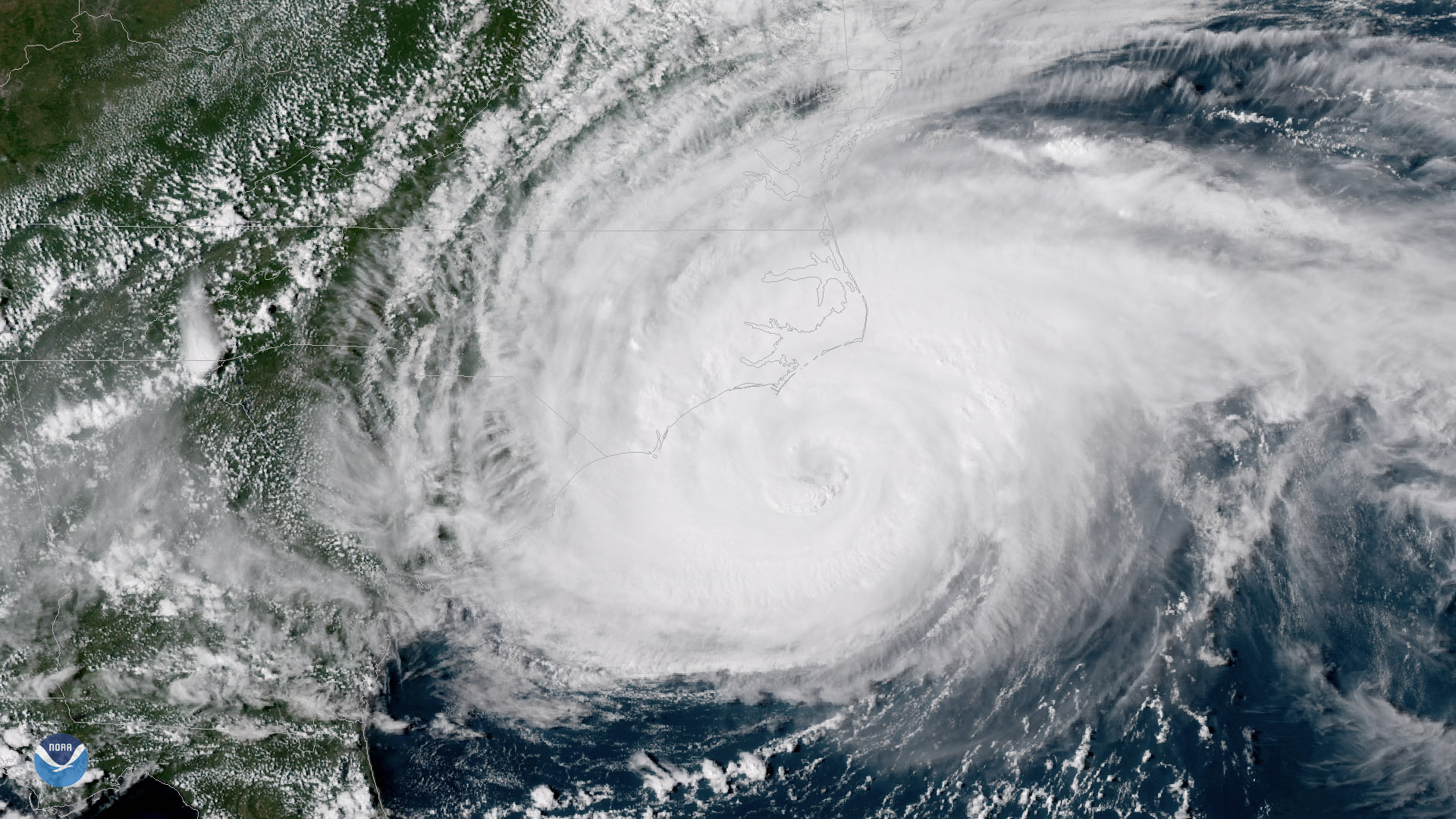
NOAA's GOES East satellite captured this dramatic view of Hurricane Florence at 3:45 p.m. ET Thursday September 13, 2018, which shows the outer bands of Florence battering the North Carolina coast. Hurricane-force winds began lashing the Outer Banks Thursday afternoon, where roads started to flood as the storm's surge and high waves caused water levels to rise along the coast.
At 5 p.m. Thursday the National Hurricane Center said Florence was a Category 2 hurricane, located 100 miles east-southeast of Wilmington, North Carolina, with maximum sustained winds near 100 mph. While Florence's peak winds have dropped, the size of the storm has expanded, with hurricane-force winds extending up to 80 miles from the center of the storm.
Florence is moving west-northwest at 5 mph, its forward movement having slowed significantly since Wednesday. This means that the storm will hover over the Carolina coast for a longer period, bringing damaging winds, life-threatening storm surge flooding, and heavy rainfall both near the coast and across the inland Carolinas.
The National Hurricane Center warns that water levels may rise as high as 7 to 11 feet from Cape Fear to Cape Lookout, North Carolina, with the highest storm surge in areas where onshore winds deliver "large and destructive waves" to the coast. In addition to the storm surge, Florence is expected to produce as much as 20 to 30 inches of rain over the region, creating a significant risk of "catastrophic flash flooding" and prolonged river flooding in inland areas.
The GOES East geostationary satellite, also known as GOES-16, provides coverage of the Western Hemisphere, including the United States, the Atlantic Ocean and the eastern Pacific. The satellite's high-resolution Advanced Baseline Imager provides optimal viewing of severe weather events, including thunderstorms, tropical storms and hurricanes.
Where this page came from
This page was imported from NOAA Satellites (NESDIS). Published by NOAA's National Environmental Satellite, Data, and Information Service and, as a work of the United States government, in the public domain; pictures credited elsewhere are left out.
Nobody has written it yet — it is the source material at a new address, which is why search engines are asked to skip it and why no one earns from it. It is up for grabs: take it on, and it is yours to rewrite and to earn from.
Licence: CC0 1.0 (public domain) · Adapted from www.nesdis.noaa.gov
1
0
0
0

Comments