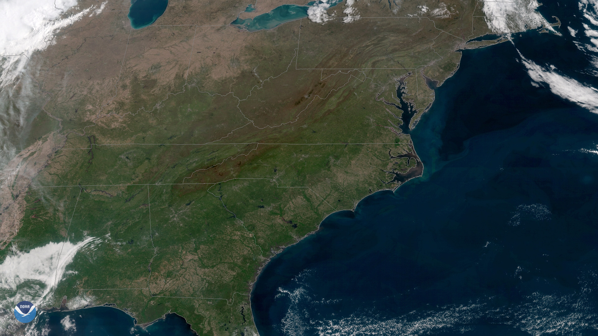
Download Image Download Image of the East Coast
After a cooler than normal April in much of the Eastern U.S., May arrived with clear skies and warm temperatures east of the Mississippi River. This image, captured by NOAA's GOES East satellite on May 1, 2018, shows completely cloud-free skies over a dozen states, in an area stretching from Indiana to Georgia up to the New Jersey coast. A strong high pressure system over the mid-Atlantic suppressed cloud formation, while southwesterly winds helped temperatures climb 10 to 20 degrees above normal in many locations.
This geocolor enhanced imagery was created by NOAA's partners at the Cooperative Institute for Research in the Atmosphere. The GOES East satellite, also known as GOES-16, provides geostationary satellite coverage of the Western Hemisphere, including the United States, the Atlantic Ocean and the Gulf of Mexico. First launched in late 2016, the satellite became fully operational in December 2017.
Where this page came from
This page was imported from NOAA Satellites (NESDIS). Published by NOAA's National Environmental Satellite, Data, and Information Service and, as a work of the United States government, in the public domain; pictures credited elsewhere are left out.
Nobody has written it yet — it is the source material at a new address, which is why search engines are asked to skip it and why no one earns from it. It is up for grabs: take it on, and it is yours to rewrite and to earn from.
Licence: CC0 1.0 (public domain) · Adapted from www.nesdis.noaa.gov
1
0
0
0

Comments