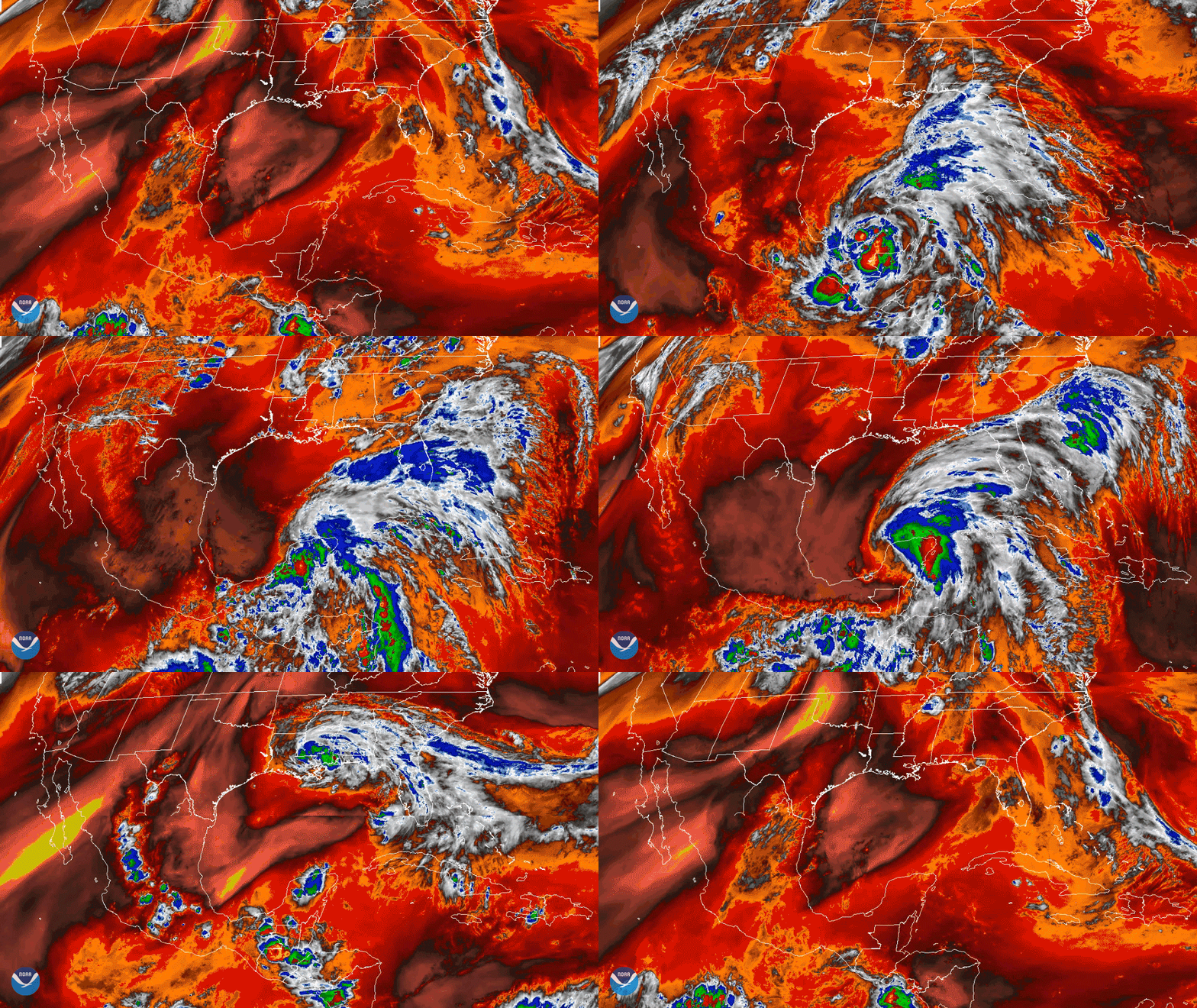
Download Image Download the Cristobal Track gif
From June 1–9, 2020, NOAA’s GOES-East satellite viewed the formation, development, and dissipation of two tropical cyclones, Amanda and Cristobal, around Central America. According to meteorologists, both of these storms were generated thanks to a system of atmospheric currents that permanently circulate in this particular area, which is also known as the Central American Gyre (CAG).
Atmospheric gyres such as the CAG are, according to this American Meteorological Society publication, “large, closed, cyclonic circulations that occur during the rainy season (May to November), which can yield exceptional rainfall leading to catastrophic flooding and large societal impacts.” They are considered similar to the “monsoonal low pressure system[s]" found in locations such as the Indian Ocean.
Note to screen-readers: This page is using an IFrame for the content-area, and you screen reader may not be abel to see it on this website.
For screen-reading purposes, please go directly to the IFrame's target page by going to
https://www.nesdis.noaa.gov/s3/migrated/20200601-09-TSCristobal02.mp4.
The CAG helped form Amanda in the eastern Pacific Ocean near the coast of Guatemala and propelled it along the country’s mountains; then, it helped swirl and push Amanda’s remnants upward and eastward toward the southern Gulf of Mexico, resulting in the creation of a new tropical cyclone, Cristobal.
As of Tuesday, June 9, the remnants of Cristobal continue their course through the Midwest and are expected to push even farther northward into the Great Lakes region. According to the National Hurricane Center, the storm is forecast to track across Wisconsin, further west than any other recorded post-tropical system on record since the 1850s.
The GOES-East geostationary satellite, also known as GOES-16, keeps watch over most of North America, including the continental United States and Mexico, as well as Central and South America, the Caribbean, and the Atlantic Ocean to the west coast of Africa. The satellite's high-resolution imagery provides optimal viewing of severe weather events, including thunderstorms, tropical storms, and hurricanes.
Where this page came from
This page was imported from NOAA Satellites (NESDIS). Published by NOAA's National Environmental Satellite, Data, and Information Service and, as a work of the United States government, in the public domain; pictures credited elsewhere are left out.
Nobody has written it yet — it is the source material at a new address, which is why search engines are asked to skip it and why no one earns from it. It is up for grabs: take it on, and it is yours to rewrite and to earn from.
Licence: CC0 1.0 (public domain) · Adapted from www.nesdis.noaa.gov
1
0
0
0

Comments