December marks the start of meteorological summer in Earth's Southern Hemisphere. As the sun's direct rays shine south of the equator, the land heats up effectively, giving rise to convective clouds and increased thunderstorm activity. Tropical regions, including southern Africa, are in the middle of their rainy season, when frequent thunderstorms bring abundant precipitation that farmers depend on to grow crops.
This week, NOAA-20 saw a series of storms bubbling up over southeastern Africa, which appear in this true color image captured by the satellite's VIIRS sensor on December 5, 2018. The cauliflower-like appearance of these clouds is typical of convective thunderstorms, which typically form in the afternoon and evening when updrafts of warm, moist air rising from Earth's surface cause towering storm clouds, called cumulonimbus , to take shape. The wispy clouds with a grayer, more feathery appearance are cirrus. Composed of ice crystals, they form along the outflow of thunderstorms.
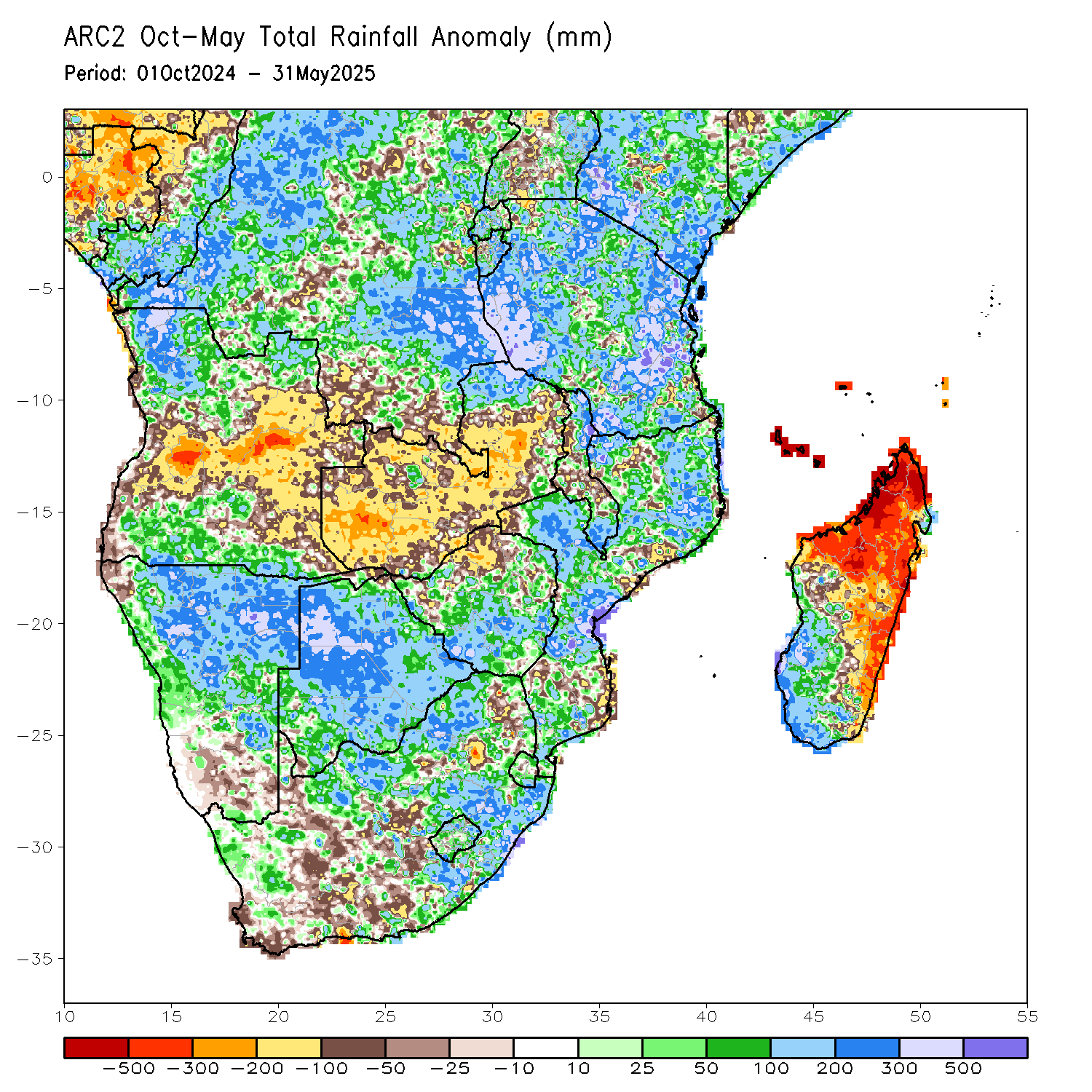
The rainy season in southern Africa season typically begins in November and lasts through March or April. During this six-month period, many locations receive more than 75 percent of their annual precipitation. This year, however, the rainy season is off to a slow start. Since early October, rainfall has been below normal across much of Zambia, Botswana, Zimbabwe and southern Mozambique,according to a new analysis from NOAA's Climate Prediction Center. Remote sensing data from satellites show the lack of rainfall has stressed vegetation, putting many crops at risk if more consistent rainfall misses the region in the upcoming weeks.
Poor rains during the southern Africa monsoon often occur during El Niño years , when warmer-than-average sea surface temperatures in the equatorial Pacific Ocean alter temperature and precipitation patterns around the globe. While an El Niño has not officially been declared (as of December 2018), forecasters still expect the recurring climate pattern to form during the 2018-2019 Northern Hemisphere winter.
During the most recent El Niño in 2016, a dismal rainy season in southern Africa led to one of the most severe droughts in decades and caused widespread crop failures.
Where this page came from
This page was imported from NOAA Satellites (NESDIS). Published by NOAA's National Environmental Satellite, Data, and Information Service and, as a work of the United States government, in the public domain; pictures credited elsewhere are left out.
Nobody has written it yet — it is the source material at a new address, which is why search engines are asked to skip it and why no one earns from it. It is up for grabs: take it on, and it is yours to rewrite and to earn from.
Licence: CC0 1.0 (public domain) · Adapted from www.nesdis.noaa.gov
1
0
0
0

Comments