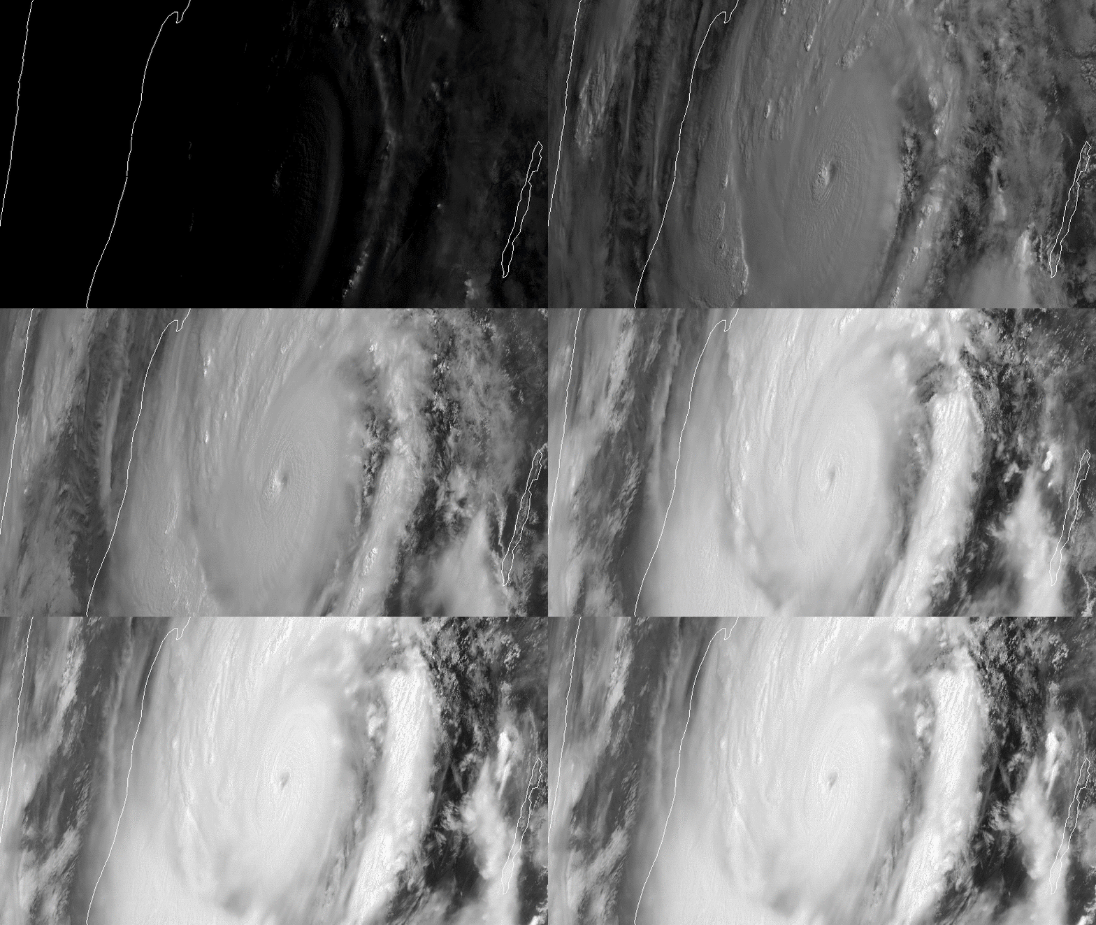
Download Image Download Image of Tropical Cyclone Amphan
On the morning of May 18, 2020, the Himawari-8 satellite caught this imagery of Tropical Cyclone Amphan, a powerful storm that formed in the Bay of Bengal and is heading toward the border of India and Bangladesh.
With maximum sustained winds at 160 mph and gusts up to 195 mph, this monster storm was the equivalent of a Category 5 Atlantic hurricane on the Saffir-Simpson Hurricane Wind Scale at last report and brings the potential for major destruction in the two countries.
According to the Joint Typhoon Warning Center, this expansive storm has a well-defined and symmetrical eye, which is typical of a very strong and well-organized tropical cyclone. Philip Klotzbach, a research scientist in the Department of Atmospheric Science at Colorado State University, tweeted that Amphan is the strongest named storm of the 2020 Northern Hemisphere tropical cyclone season to date.

Infrared imagery of Very Severe Cyclonic Storm Amphan via the Suomi-NPP satellite on May 17, 2020.
Imagery via the Suomi-NPP satellite on May 17, 2020.
As of Monday morning, the cyclone was located approximately 346 miles from Visakhapatnam, India, and was tracking northward. Amphan was expected to continue intensifying, but forecasters predict it should begin to weaken shortly before making landfall southeast of Kolkata, near the Ganges Delta.
Even if this is the case, the cyclone still poses a significant threat to the region, with a potential storm surge reaching up to 30 feet, which could be devastating in densely populated areas with notoriously unreliable infrastructure.
The image above was captured by the Advanced Himawari Imager (AHI) on Japan’s Himawari-8 satellite. This satellite, the first unit of the Japan Meteorological Agency's (JMA) third-generation of geostationary satellites, provides visible light and infrared images of the Asia-Pacific region. Himawari's data are vital for global geostationary coverage, which is why NOAA and JMA have agreed to mutual back-up arrangements for their geostationary systems.
Where this page came from
This page was imported from NOAA Satellites (NESDIS). Published by NOAA's National Environmental Satellite, Data, and Information Service and, as a work of the United States government, in the public domain; pictures credited elsewhere are left out.
Nobody has written it yet — it is the source material at a new address, which is why search engines are asked to skip it and why no one earns from it. It is up for grabs: take it on, and it is yours to rewrite and to earn from.
Licence: CC0 1.0 (public domain) · Adapted from www.nesdis.noaa.gov
1
0
0
0

Comments