Viu algo para melhorar? Proponha uma alteração.

Download Image Download Image of Nor'easter
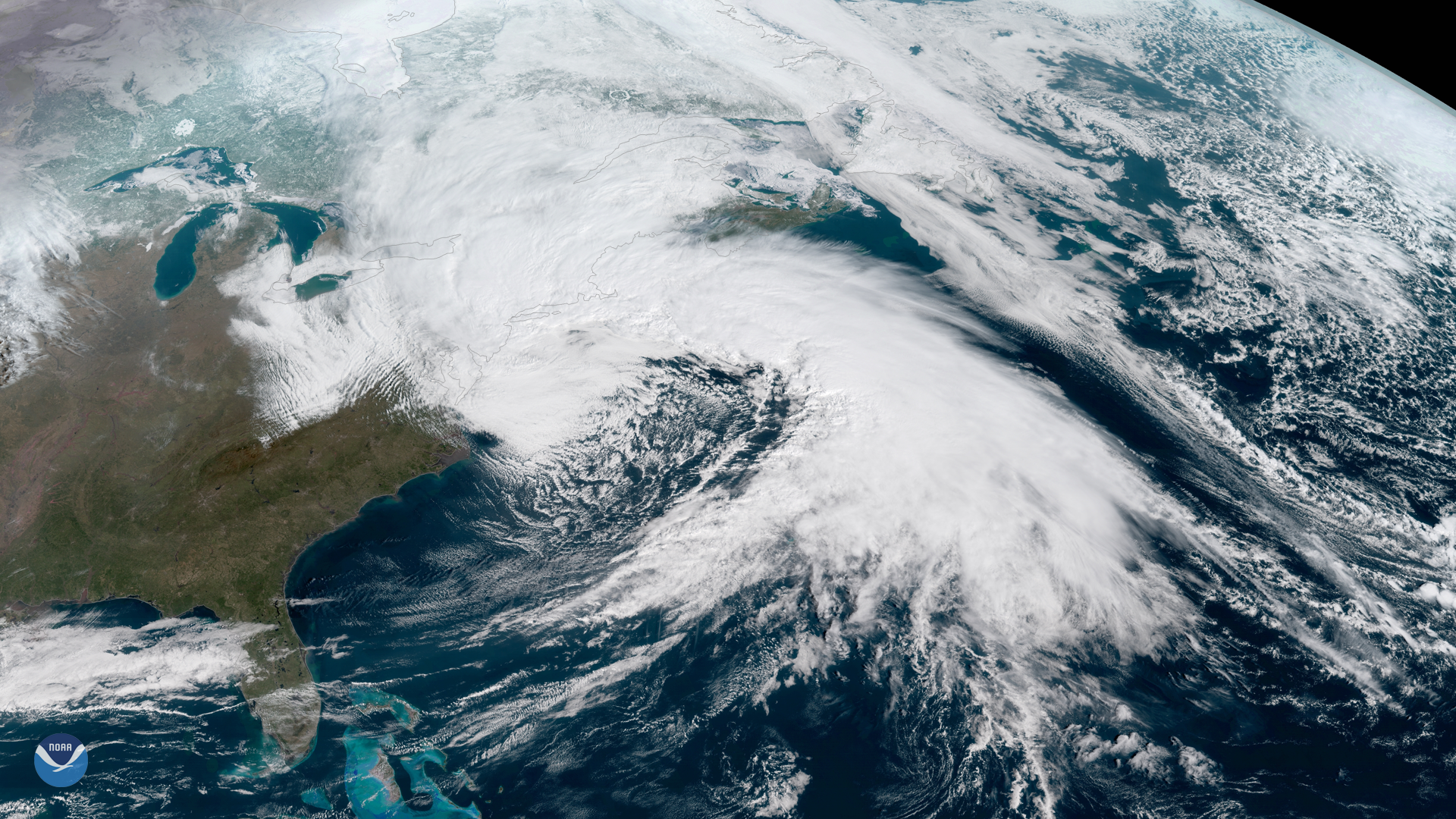
NOAA's GOES East satellite captured this dramatic image of last week's powerful nor'easter that brought gale-force winds, rain and snow to the Mid-Atlantic and Northeast on March 2, 2018. The strong late-winter storm caused significant coastal flooding in New England and lashed many areas with dangerously high winds. NOAA's Weather Prediction Center reported widespread hurricane-force winds (of at least 74 mph) in six states. Peak wind gusts exceeded 70 mph in the Washington, D.C. area and reached as high as 93 mph in eastern Massachusetts. Meanwhile, parts of upstate New York received more than two feet of snow.
The storm was responsible for seven deaths and caused more than two million power outages, according to media reports.
This geocolor enhanced imagery was created by NOAA's partners at the Cooperative Institute for Research in the Atmosphere. The GOES East satellite, also known as GOES-16, provides geostationary satellite coverage of the Western Hemisphere, including the United States, the Atlantic Ocean and the Gulf of Mexico. First launched in late 2016, the satellite became fully operational in December 2017.
Where this page came from
This page was imported from NOAA Satellites (NESDIS). Published by NOAA's National Environmental Satellite, Data, and Information Service and, as a work of the United States government, in the public domain; pictures credited elsewhere are left out.
Nobody has written it yet — it is the source material at a new address, which is why search engines are asked to skip it and why no one earns from it. It is up for grabs: take it on, and it is yours to rewrite and to earn from.
Licença: CC0 1.0 (domínio público) · Adaptado de www.nesdis.noaa.gov
1
0
0
0

Comentários