
Viu algo para melhorar? Proponha uma alteração.
The National Park Service's Southern Colorado Plateau Network (SCPN) monitors ecological vital signs over the long term, and produces a great deal of data. After its biggest effort yet to reformat that data to the Inventory & Monitoring Division's new standards, it has published two of its largest datasets for anyone to use.
Aquatic macroinvertebrates, 2007–2019
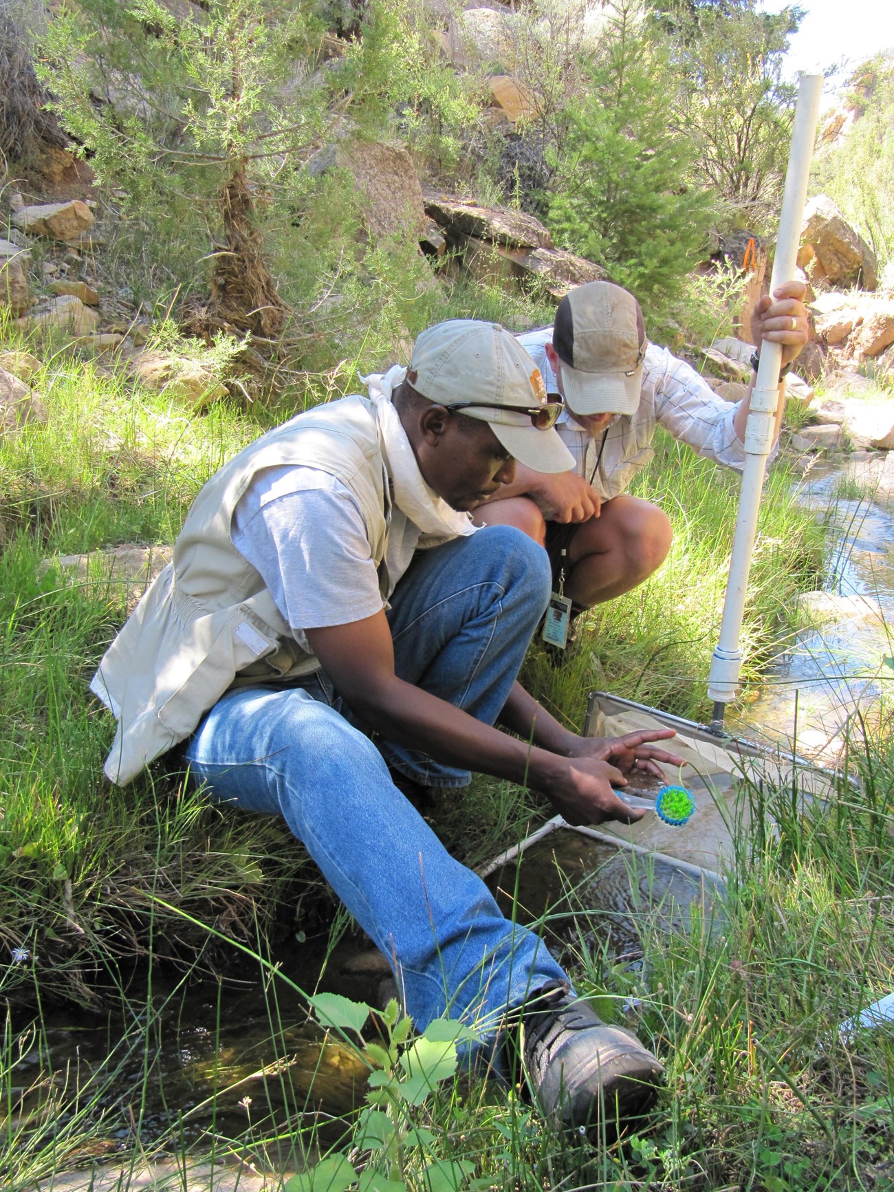
SCPN field biologists collecting macroinvertebrate samples. NPS.
- Data package: SCPN Aquatic Macroinvertebrate Data Package for 2007–2019 — doi.org/10.57830/2301723
- Parks: Bandelier National Monument, Canyon de Chelly National Monument, Glen Canyon National Recreation Area, Grand Canyon National Park, Mesa Verde National Park
Why monitor them. Aquatic and riparian habitats are among the most threatened ecosystems in the world — by pollution, development, logging, grazing, water withdrawal and climate change, among others. Aquatic macroinvertebrates live in every aquatic ecosystem and are sensitive to change, which makes them good indicators of chemical, physical and biological disturbance. Monitoring them complements water quality monitoring, giving a fuller picture of stream health.
What's in it:
- metadata linking each record to its wider context;
- the full dataset, by each species' Integrated Taxonomic Information System (ITIS) Taxonomic Serial Number (TSN) and life stage (adult, pupa, larva);
- a summary of abundance by family;
- a summary of abundance by functional group — the five functional feeding groups of stream ecology, each feeding on a different energy source, whose differences show how energy is stored in the community.
Upland vegetation and soils, 2007–2022
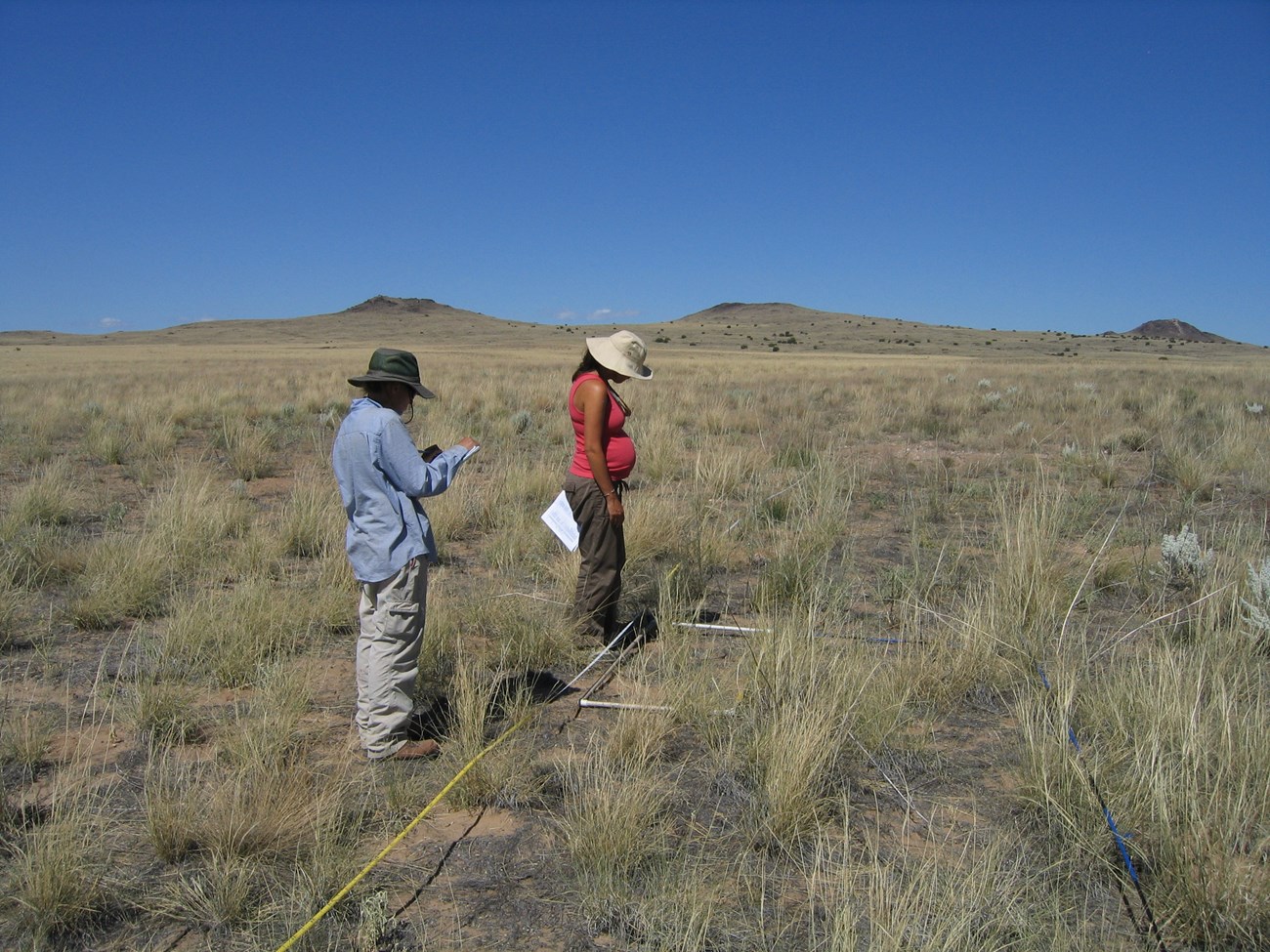
SCPN field biologists surveying vegetation. NPS.
- Data package: SCPN Upland Vegetation Herbaceous and Shrub Vegetation and Soils 2007–2022 Data Package — doi.org/10.57830/2300890
- Parks: Aztec Ruins, Bandelier, Petroglyph, Walnut Canyon and Wupatki national monuments; Chaco Culture National Historical Park; Glen Canyon National Recreation Area; Grand Canyon, Mesa Verde and Petrified Forest national parks
Why monitor them. Long-term vegetation monitoring shows how plant communities change with climate, disturbance and management — changes that affect habitat for resident and migrating animals. Monitoring soil stability and hydrologic function directly measures the threat of erosion.
What's in it:
- metadata;
- soil texture and depth: one soil profile per plot, taken when it was set up, hand-textured and described in 10 cm steps;
- sampling dates for every event;
- functional (lifeform) groups: presence/absence and cover class for annual grass, perennial grass, shrubs and forbs;
- soil stability ratings — how erodible the surface is;
- surface features: cover of coarse and fine gravel, soil crust, live plant bases and more;
- species data, both summarized (presence/absence and mean cover class per species in each ecological site) and unsummarized.
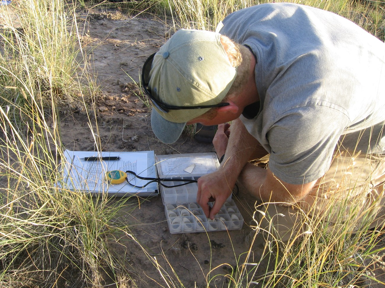
A soil stability test. NPS.
A printable version of this brief is in the NPS DataStore.
Sources
Based on "Data Publication Brief — Aquatic Macroinvertebrates and Upland Vegetation/Soils," prepared by Christopher Calvo, January 2024, Southern Colorado Plateau Network, National Park Service; a work of the United States government in the public domain. The brief calls Chaco "Chaco Culture National Historical Site"; it is a National Historical Park. It says the summary of abundance by family summarizes at the genus level; that detail is left out here.
Nestas publicaçõesGrand Canyon National ParkBandelier National MonumentGlen Canyon National Recreation AreaChaco Culture National Historical ParkAztec Ruins National MonumentCanyon de Chelly National Monument
Licença: CC0 1.0 (domínio público) · Adaptado de www.nps.gov
1
0
0
0

Comentários


