Есть что улучшить? Предложите правку.

Download Image Download Image of the Bay of Bengal
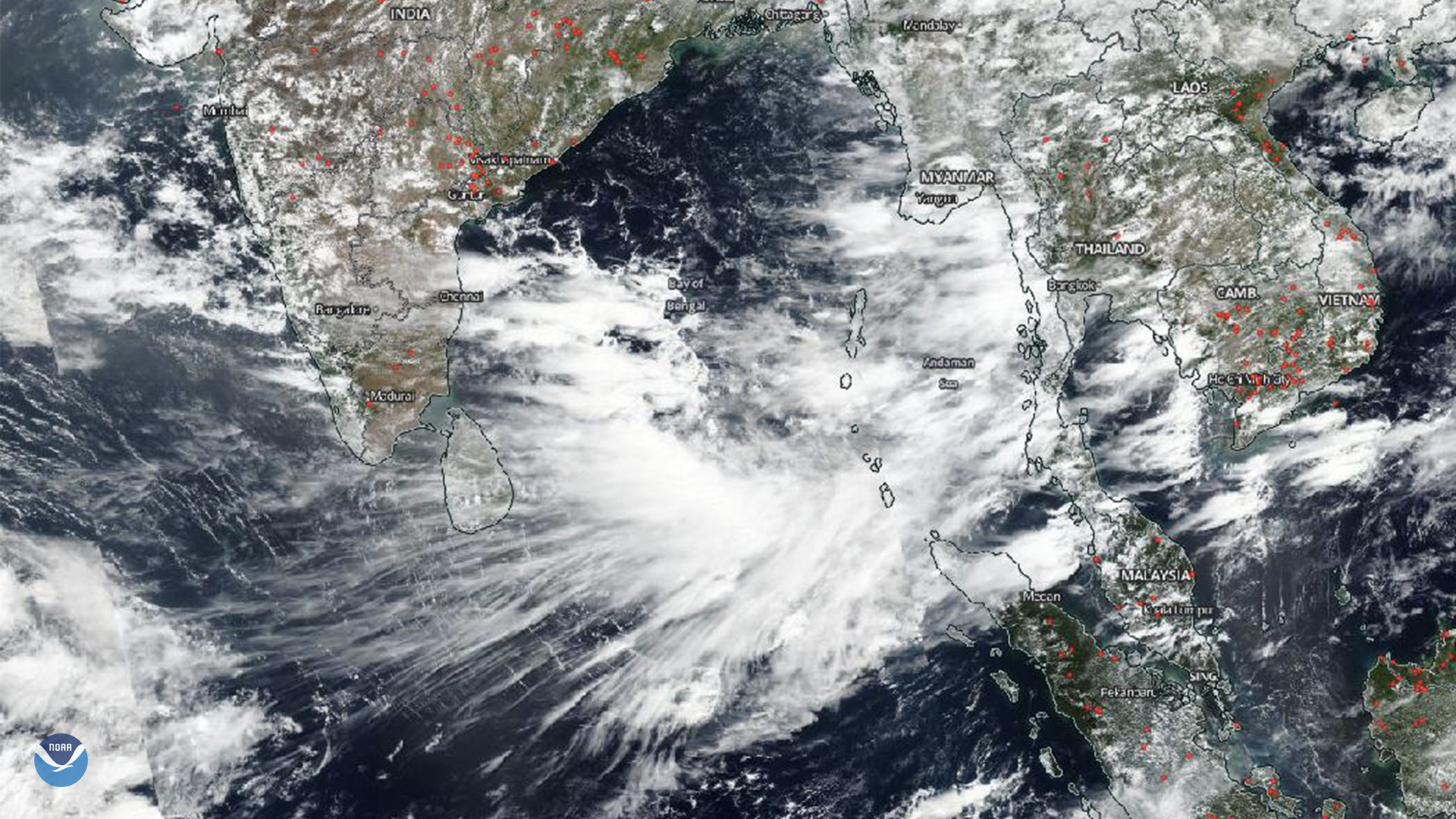
Upper level winds from thunderstorms over the Bay of Bengal blew anvil clouds to the southwest, forming an eye-catching cirrus cloud pattern off the southern tip of India on June 25, 2019.
Anvil clouds, seen here by Suomi-NPP, form when cumulonimbus clouds rise to the level of the tropopause, the boundary between the lower atmosphere and the stratosphere, approximately 60,000 feet high at the equator. At this height, high winds flatten and spread the tops of the clouds, producing an anvil-like shape.
This image was captured by the Suomi-NPP satellite's VIIRS instrument, which scans the entire globe twice daily at a 750-meter resolution. The VIIRS sensor provides high-resolution visible and infrared imagery of Earth's atmosphere, land, and oceans, and helps atmospheric scientists monitor severe weather events such as hurricanes and tropical storms.
Where this page came from
This page was imported from NOAA Satellites (NESDIS). Published by NOAA's National Environmental Satellite, Data, and Information Service and, as a work of the United States government, in the public domain; pictures credited elsewhere are left out.
Nobody has written it yet — it is the source material at a new address, which is why search engines are asked to skip it and why no one earns from it. It is up for grabs: take it on, and it is yours to rewrite and to earn from.
Лицензия: CC0 1.0 (общественное достояние) · По материалам www.nesdis.noaa.gov
1
0
0
0

Комментарии