Есть что улучшить? Предложите правку.

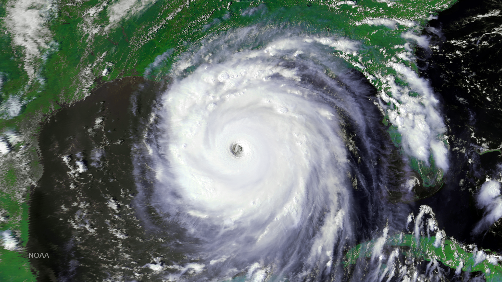
Download Image Download Satellite Image of Hurricane Katrina
After more than 13 years of helping to predict weather and climate patterns and save lives in search and rescue operations, NOAA announced yesterday it has turned off the NOAA-16 Polar-Orbiting Environmental Satellite (POES). It was one of NOAA's longest operating spacecraft, which have a planned lifespan of three to five years. It was launched in 2000 and replaced by NOAA-18 as the primary POES satellite in 2005. The shutdown will result in no data gap, as NOAA-16 was being used as a back-up satellite.
As the spacecraft aged, several key systems on board became inoperable, while others continued to provide potentially useful information that was available if needed. NOAA will continue operating several POES spacecraft – NOAA-15, NOAA-18 and NOAA-19 – in addition to Suomi NPP, which is now NOAA’s primary operational polar satellite. NOAA’s POES spacecraft fly a lower, pole-to-pole orbit, capturing atmospheric data from space that feed NOAA’s weather and climate prediction models. NOAA began the deactivation process of NOAA-16 yesterday morning, with the final shut down occurring June 9, 2014 at 10:20 a.m.
Launched in September 2000, NOAA-16 made 70,655 successful orbits of the globe, traveling more than 2.1 billion miles, while collecting huge amounts of valuable temperature, moisture and image data. “NOAA-16 helped our forecasters detect the early stages of severe weather from tornadoes and snow storms to hurricanes, including the busiest hurricane season on record – 2005,” said Mary Kicza, assistant administrator of NOAA’s Satellite and Information Service. “NOAA-16’s long life is a credit to the engineers, who built and operated it and the technology that sustained it. Although NOAA-16 is retired, we still operate a dependable, robust fleet of satellites that continue to provide crucial data.” This image of Hurricane Katrina was taken by the NOAA-16 AVHRR instrument at 2010Z on August 28, 2005.
Where this page came from
This page was imported from NOAA Satellites (NESDIS). Published by NOAA's National Environmental Satellite, Data, and Information Service and, as a work of the United States government, in the public domain; pictures credited elsewhere are left out.
Nobody has written it yet — it is the source material at a new address, which is why search engines are asked to skip it and why no one earns from it. It is up for grabs: take it on, and it is yours to rewrite and to earn from.
Лицензия: CC0 1.0 (общественное достояние) · По материалам www.nesdis.noaa.gov
1
0
0
0

Комментарии