
Есть что улучшить? Предложите правку.
The four Spanish Colonial missions of San Antonio stand on ground the river made. Beneath the mission complexes lie mostly Holocene terrace deposits from the floodplain of the San Antonio River, in a geologically young region of the Coastal Plain.
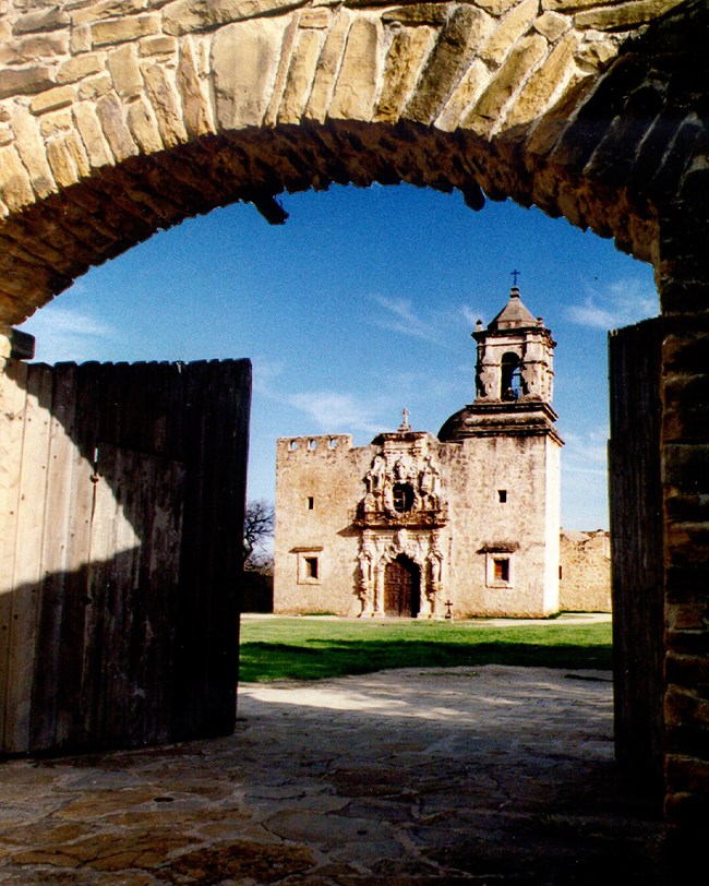
The church at Mission San José. Credit: NPS.
The park
San Antonio Missions National Historical Park lies immediately south of downtown San Antonio, along the upper San Antonio River basin in Bexar and Wilson Counties, southern Texas. Established on April 1, 1983, it covers about 383 hectares (948 acres) and protects:
- four 18th-century Spanish Colonial mission complexes — Concepción, San José, San Juan and Espada
- a surviving mission ranch, Rancho de las Cabras
- associated historic structures
The missions were part of the Spanish Empire's effort to colonize Native Americans and make them Spanish-speaking Catholic citizens. Much larger than an ordinary church, each was a self-sustaining settlement with living quarters, workshops, storerooms, and its own irrigation and farming. Together they are one of the most complete and intact groups of Spanish Colonial mission complexes in the world, and became a UNESCO World Heritage Site on July 15, 2015.
Two are National Historic Landmarks with a national first:
| Mission | Holds |
|---|---|
| Concepción | the oldest unreconstructed stone church in the United States |
| Espada | the only functioning Spanish Colonial aqueduct in the United States |
The ground beneath
The park sits in the Interior Coastal Plains subsection of the Coastal Plain physiographic province, a geologically young region made of Cenozoic strata going back to the Paleocene Epoch, about 66 million years ago.
| Deposit | What it is | Where it shows |
|---|---|---|
| Holocene river terrace deposits | fluviatile sediments of the San Antonio River floodplain | under most of the mission complexes, and at Rancho de las Cabras |
| Leona Formation (Pleistocene) | calcareous silt, sand and gravel | flanking the terraces |
| Midway Group and Wilcox Group | older sedimentary rocks | flanking the terraces; exposed only in a few places, along the river near Espada Dam and beneath Espada Aqueduct where it crosses Sixmile Creek |
| Weches Formation (Eocene) | greenish-brown glauconitic sand and clay | the Rancho de las Cabras Unit |
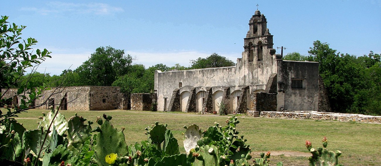
Mission San Juan Capistrano. Credit: NPS.
Where the detail lives
This summary comes from the NPS Geodiversity Atlas, which covers the full variety of a park's geology — rocks, minerals, sediments, fossils, landforms and physical processes — and its soils, in support of education, geoconservation and managing living and non-living parts of the ecosystem together. It draws on the Geologic Resources Inventory, which produces digital geologic maps and reports for more than 270 natural resource parks, and a completed Soil Resources Inventory for this park. Both are in the NPS DataStore.
Sources
Based on "NPS Geodiversity Atlas—San Antonio Missions National Historical Park, Texas" from the National Park Service, a work of the United States government in the public domain.
В изданияхSan Antonio Missions National Historical Park
Лицензия: CC0 1.0 (общественное достояние) · По материалам www.nps.gov
1
0
0
0

Комментарии


