
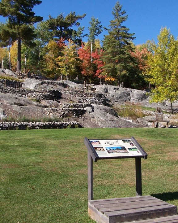
Ellsworth Rock Gardens, on Kabetogama Lake.
Voyageurs National Park, on Minnesota's border with Canada, is made of two moments in Earth's history separated by two and a half billion years. Its bedrock is some of the oldest on the continent — part of the Canadian Shield, the ancient core of North America. Its shape — the islands, bays, bare rock and chains of lakes — was carved into that rock by ice sheets that melted away only about ten thousand years ago.
The old rock
The rocks at Voyageurs are Archean, about 2.5 billion years old, and were formed in the Kenoran (or Algoman) orogeny, the earliest mountain-building episode that can be dated in North America.
| Where in the park | Rock | What it is |
|---|---|---|
| West and centre — Rainy Lake, Kabetogama Lake | schist and gneiss | metamorphic: older rock recrystallised under heat and pressure |
| East — Namakan Lake, Sand Point Lake | granite | igneous: magma that cooled underground |
The park lies in the Superior Upland physiographic province, which here is split in two by the Rainy Lake–Seine River fault zone. Most of the park is on the Quetico side — biotite schist and granitic rock, with little sign of volcanoes. North of the fault, the Wabigoon side is a jumble of intrusions and volcanic greenstone belts. Together they record an ancient sedimentary basin jammed against a volcanic island arc.
What the ice did
During the Pleistocene ice ages the region was glaciated at least four times. Each advance scraped the bedrock down, and the last retreat, about 10,000 years ago, left the landscape visitors see now.
- Striations and grooves. Quartz grains and rock fragments frozen into the base of the ice scored parallel lines into the bedrock as it moved. At Voyageurs they point south, south-southwest and southwest; where lines cross, the ice moved in more than one direction.
- Glacial polish. On the hardest outcrops the rock was rubbed smooth, and in places it is still glossy.
- Erratics. Boulders carried by the ice and dropped far from home, from pebbles to blocks the size of a car, lie all over the park.
- Lakes and hummocks. Ice scoured out the chains of lakes; ground moraine mixed with old lakebed sediment makes the rolling, uneven ground between outcrops, bogs, beaver ponds, swamps and islands around the four large lakes.
Maps and reports
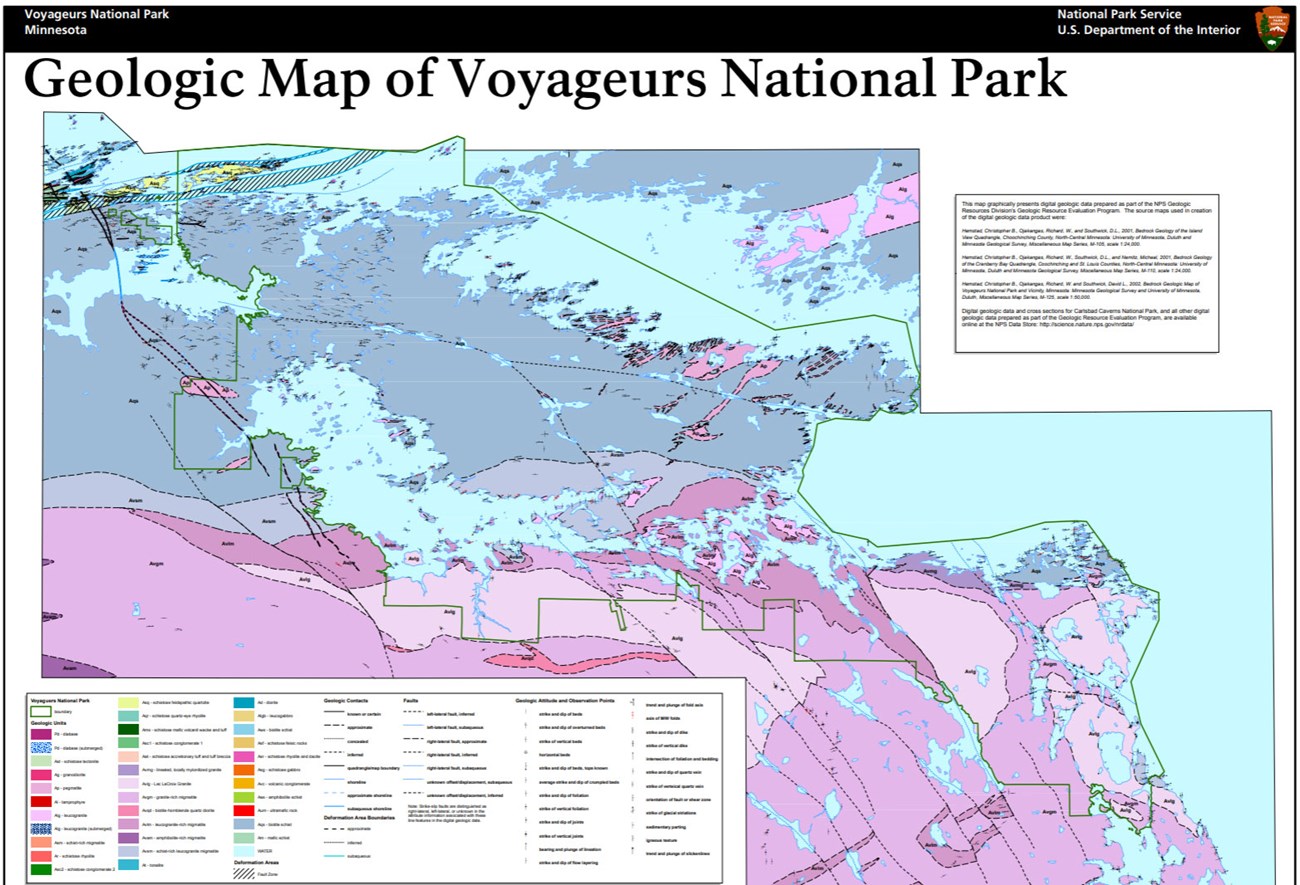
The Park Service's Geologic Resources Inventory has published for Voyageurs a scoping summary, digital geologic maps for GIS, and a geologic report on the park's features, management issues and history; the Soil Resources Inventory has completed a soil survey. All are free on the NPS DataStore.
Sources
Written from "NPS Geodiversity Atlas—Voyageurs National Park, Minnesota", National Park Service Geologic Resources Division, a work of the United States government in the public domain, which cites Hemstad et al. (2002), Harris et al. (1995), Davis et al. (1994), Weeks and Andrascik (1998) and Kiver and Harris (1999).
В подборкахVoyageurs National Park
Лицензия: CC0 1.0 (общественное достояние) · По материалам www.nps.gov
1
0
0
0

Комментарии
Читать дальше


