Download Image Download Image of the Severe Weather for the Western United States
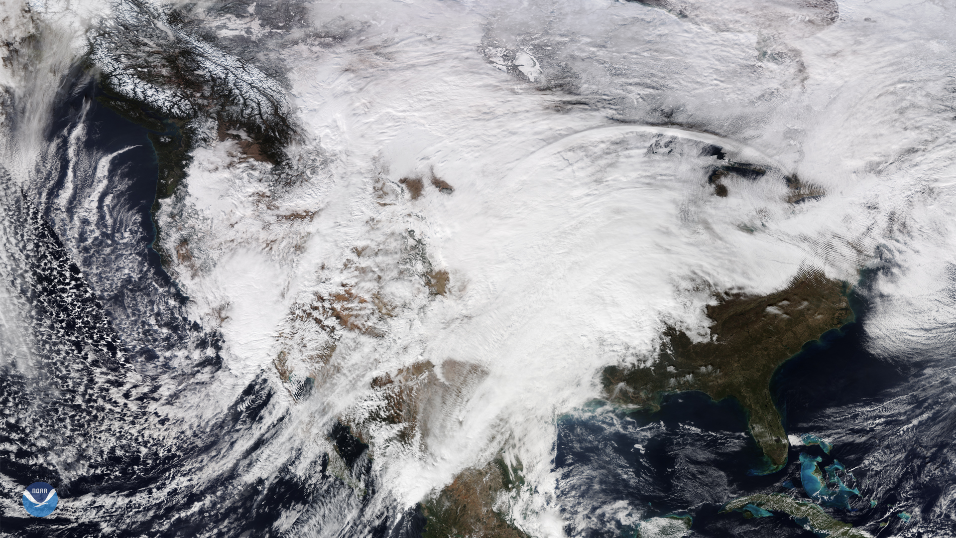
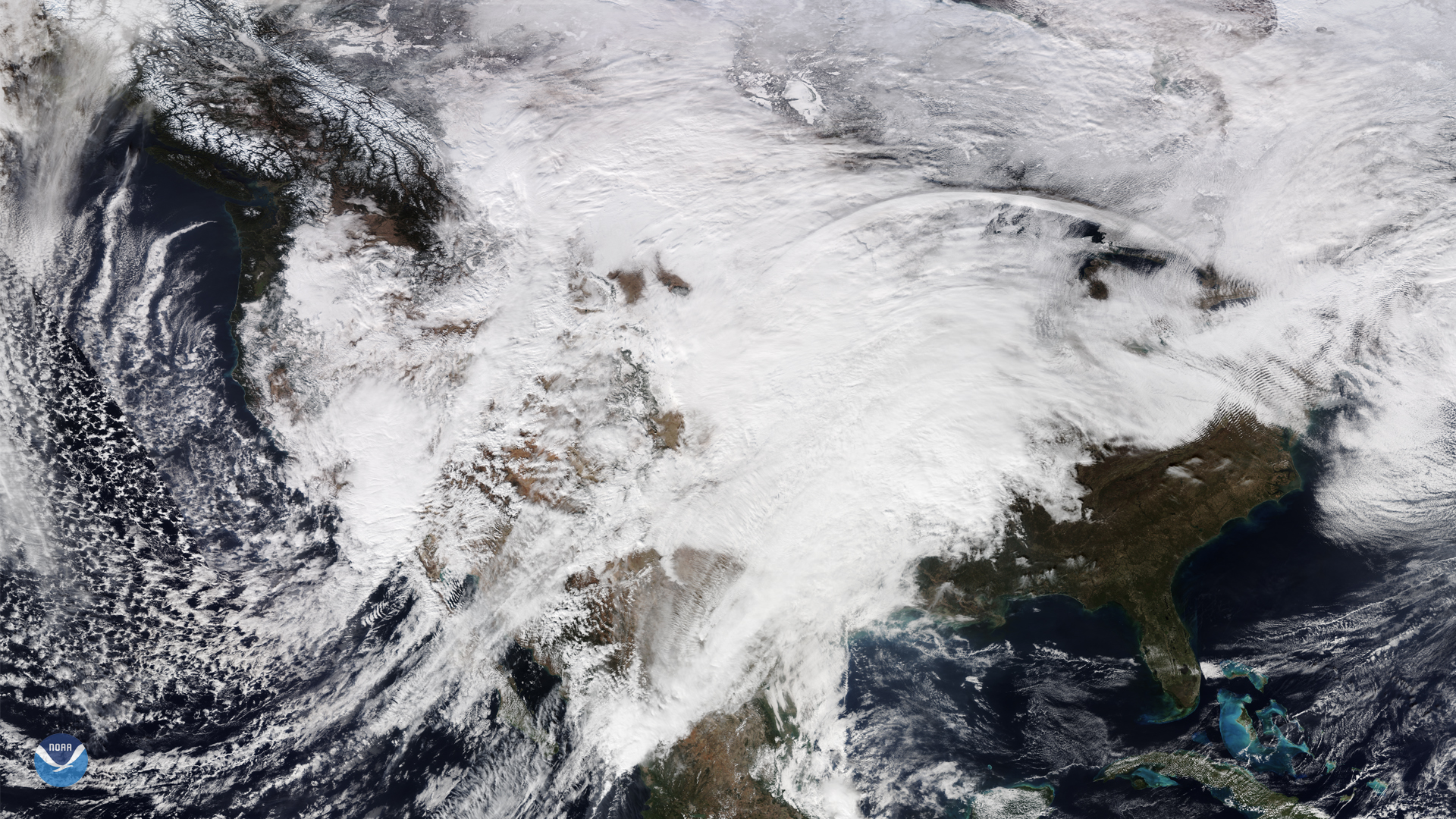
On Nov. 28, NOAA-20 captured this view of the continental United States as it was covered by a large low-pressure system and an upper-level trough coming in from the West. According to the latest forecast from the , “[the] low-pressure system will cause widespread heavy snow from the West into the Northern Plains and Midwest...freezing rain and high winds.”
For the Mid-Atlantic and Southeast, there will be moderate to heavy precipitation by Saturday night and Sunday morning. Severe thunderstorms may affect the Gulf Coast for Saturday evening with an elevated risk of localized flash flooding. Additionally, the Midwestern cold front may cause freezing rain for the upper Mid-Atlantic and snow in parts of New England.
People traveling during the holiday weekend are encouraged to exercise all due caution while on the roads, which can form ice on their surfaces when temperatures drop below freezing. Some good rules of thumb include driving at lower speeds, not using cruise control and leaving plenty of space between vehicles on the highway.
This image was captured by the NOAA-20 satellite's VIIRS instrument , which scans the entire Earth twice per day at a 750-meter resolution. Multiple visible and infrared channels allow it to detect atmospheric aerosols, such as dust, smoke and haze associated with industrial pollution and fires. The polar-orbiting satellite circles the globe 14 times daily and captures a complete daytime view of our planet once every 24 hours. Images taken by the VIIRS sensor during each orbit are then merged together to create image mosaics of larger regions, like the one used here.
Where this page came from
This page was imported from NOAA Satellites (NESDIS). Published by NOAA's National Environmental Satellite, Data, and Information Service and, as a work of the United States government, in the public domain; pictures credited elsewhere are left out.
Nobody has written it yet — it is the source material at a new address, which is why search engines are asked to skip it and why no one earns from it. It is up for grabs: take it on, and it is yours to rewrite and to earn from.
许可协议: CC0 1.0(公有领域) · 改编自 www.nesdis.noaa.gov
1
0
0
0

留言