
Want to improve the page's content? Try to propose a change.

Redoubt Volcano.
Lake Clark National Park and Preserve, about 80 miles southwest of Anchorage, sits where the Aleutian Range meets the Alaska Range, in one of the most geologically restless places in North America. It has jagged peaks and granite spires, two active volcanoes, a score of glacier-carved lakes — and a 40-mile lake that lies along a fault.
The park in brief
| Established | as a national monument, December 1, 1978; a national park and preserve, December 2, 1980 |
| Size | about 4 million acres |
| Lake Clark | more than 40 miles long, 128 square miles |
| Life | part of the spawning grounds of Bristol Bay's salmon run, one of the world's largest; home to the only known wolf pack that depends on salmon |
Plates, faults and volcanoes
The Aleutian Range here is part of the Pacific Ring of Fire. The Pacific plate dives beneath the North American plate at about 7 centimetres a year, and that subduction feeds the region's frequent strong earthquakes — some above magnitude 6 beneath Iliamna, Augustine and Douglas volcanoes — and its four active volcanoes: Redoubt, Iliamna, Augustine and Douglas.
- Redoubt and Iliamna, the two in the park, are young, about 880,000 years old; older igneous rocks show volcanic activity here as far back as 190 million years ago.
- The Bruin Bay Fault, a thrust fault, runs some 300 miles from Becharof Lake on the Alaska Peninsula to Mount Susitna, cutting across Chinitna and Tuxedni bays.
- The Lake Clark Fault, sometimes called the Castle Mountain Fault, runs 140 miles beneath Lake Clark and Lake Clark Pass. The lake's long, straight shape comes from it; the two sides have slid about 8 miles past each other.
The rocks
Most of the bedrock is Mesozoic, uplifted in the Jurassic and carved since by glaciers. In the southern part of the park, east of Lake Clark, it is mainly sedimentary and metamorphic; in the north, Tertiary and Mesozoic intrusive rock dominates. Across it all lie young deposits: glacial debris from the Brooks Lake glaciation, delta and estuary sediments, and fresh volcanic rock. Jurassic layers hold marine fossils — clams, ammonites and belemnites.
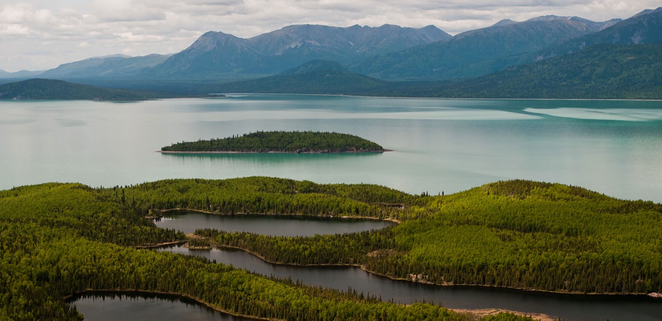
Tommy Island in Lake Clark, from the air.
Maps and reports

Bedrock geology of the park and preserve.
The Park Service's Geologic Resources Inventory has published bedrock and surficial geologic maps and a report for Lake Clark, and its Soil Resources Inventory a soil survey; all are free on the NPS DataStore.
Sources
Written from "NPS Geodiversity Atlas—Lake Clark National Park & Preserve, Alaska", National Park Service Geologic Resources Division, a work of the United States government in the public domain, which cites Anderson (2017), Kienle and Swanson (1983), Hampton (1982), Ivanhoe (1962) and others.
In these collectionsLake Clark National Park & Preserve
Licence: CC0 1.0 (public domain) · Adapted from www.nps.gov
1
0
0
0

Comments
Read next


