
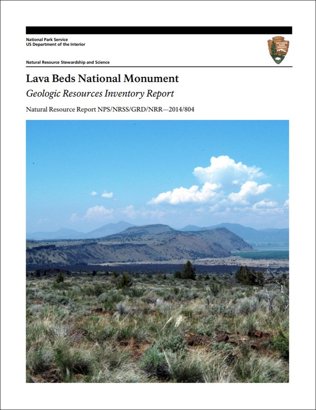
The monument's Geologic Resources Inventory report. Image from the NPS Geodiversity Atlas
Lava Beds National Monument (LABE) lies in the Cascade Range, about 16 km (10 mi) south of the California–Oregon border, in Modoc and Siskiyou counties, northeastern California.
| Established | November 21, 1925, under the U.S. Forest Service; transferred to the National Park Service on August 10, 1933 (Anderson 2017) |
| Size | about 18,896 hectares (46,692 acres) of rugged volcanic land |
| Setting | the northern flank of Medicine Lake volcano |
This page is part of the National Park Service's Geodiversity Atlas, a product of the Geologic Resources Inventory. Geodiversity means the whole range of a park's geologic and soil resources and processes — rocks, minerals, sediments, fossils, landforms and the processes that shape them — and the atlas supports education, geoconservation, and management that treats the living and non-living parts of an ecosystem together.
Medicine Lake volcano
Medicine Lake volcano is the largest volcano by volume in the Cascade Range — 600 km³ (150 mi³) — and the main source of the monument's lava beds (KellerLynn 2014b). Of 208 recorded eruptions in its 500,000-year history, 36 are preserved in the monument (Donnelly-Nolan 2010).
The lava
The monument is dominated by hundreds of well-preserved lava features, ranging in composition from rhyolite to basalt:
- vents and craters;
- cinder cones and spatter cones;
- lava flows and lava tubes.
| Unit | Age | |
|---|---|---|
| Oldest | Pleistocene basalt of Hovey Point | 445,000 ± 25,000 years |
| Youngest | Holocene basaltic andesite of Callahan Flow | 1,120 years |
(KellerLynn 2014b)
The monument also holds lake deposits, glacial outwash, fossils and cultural resources — among them Petroglyph Point, an American Indian rock-art site with more than 5,000 carvings going back to the early Holocene.
Lava Beds belongs to the Cascade-Sierra Mountains physiographic province and shares its geologic history and some of its formations with a region much larger than the monument.
Maps, reports and data
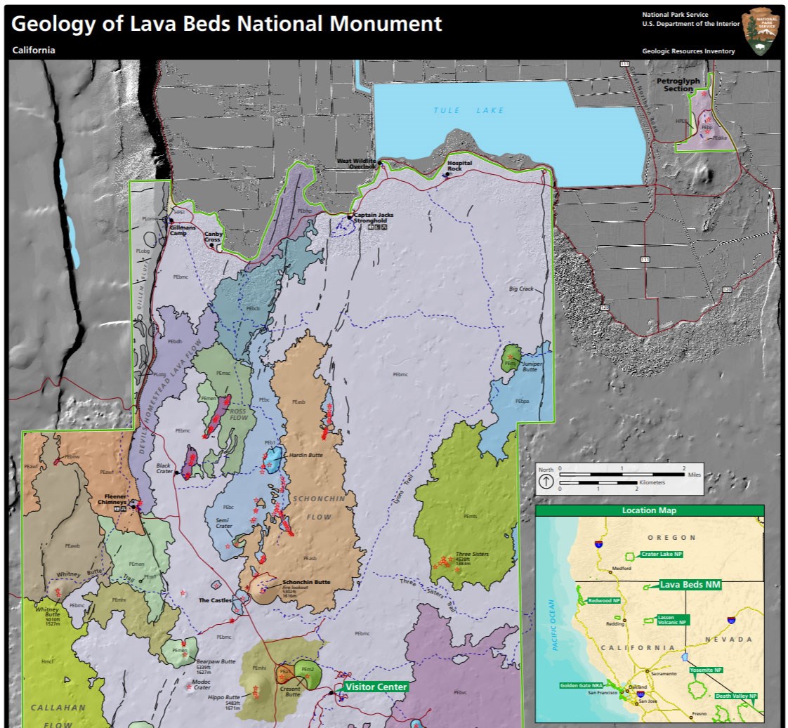
Geologic Resources Inventory map of Lava Beds. Image from the NPS Geodiversity Atlas
The Geologic Resources Inventory produces digital geologic maps and reports for more than 270 natural resource parks, and many products are still in progress:
| Product | What it is |
|---|---|
| Scoping summaries | records of meetings where park staff and local geologists set the mapping plan and the report's contents |
| Digital geologic maps | GIS files, a user guide and supporting map information; newer ones add Google Earth data and online map services |
| Reports | the park's setting and significance, notable features and processes, management issues, and geologic history, built on the maps |
| Posters | a PDF view of the GIS data; newer ones add aerial imagery or shaded relief. Included with the reports |
| Projects | the basics of the program and every product for a park |
- The monument's products are listed in the NPS DataStore.
- A Soil Resources Inventory for the monument is complete and also in the DataStore.
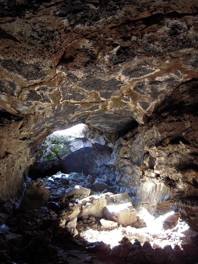
Blue Grotto lava tube. Image from the NPS Geodiversity Atlas
More: caves · geology brochure (PDF) · photo gallery · park home · volcanoes, craters and lava flows · California Geological Survey
Sources
Based on "NPS Geodiversity Atlas—Lava Beds National Monument, California," National Park Service; a work of the United States government in the public domain.
收录于这些专栏Lava Beds National Monument
许可协议: CC0 1.0(公有领域) · 改编自 www.nps.gov
1
0
0
0

留言


