
Vil du gøre sidens indhold bedre? Foreslå en ændring.
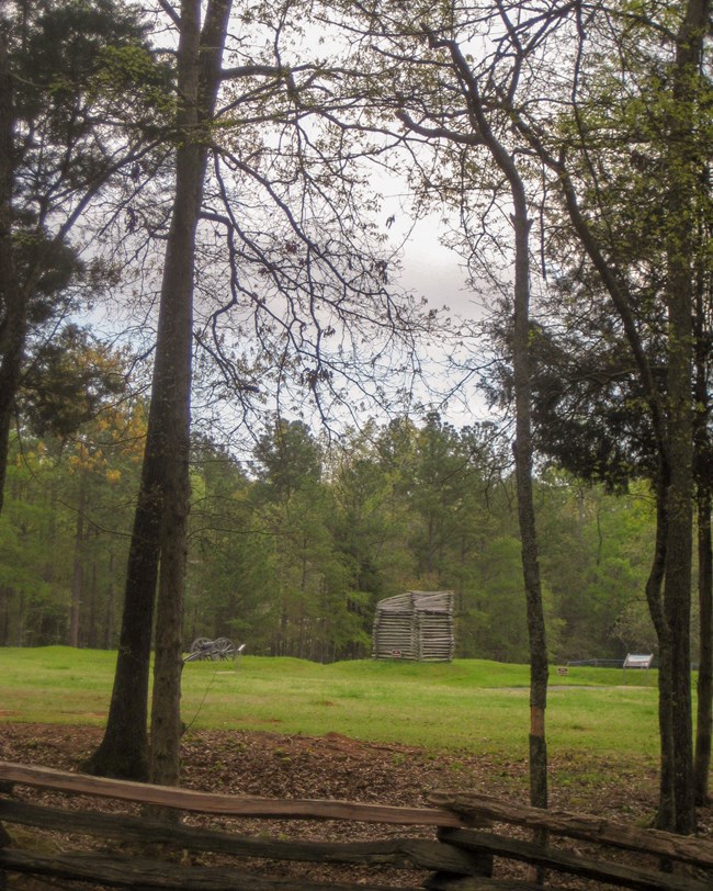
Ninety Six is 1,022 acres of South Carolina backcountry, nine miles south-east
of Greenwood, and it holds three histories stacked on one site: a trading and
meeting place from 1715 to the 1760s, a colonial village and seat of
government from 1768 into the early 1800s, and a Revolutionary War stronghold.
It is where the first land battle south of New England was fought, and
where the longest field siege of the Revolutionary War took place. The
Star Fort's earth embankments are still there, with two historic villages, a
colonial plantation complex, prehistoric sites and Kosciuszko's Mine — the
tunnel the Polish engineer drove toward the fort during the siege. It was
authorised as a national historic site on 19 August 1976.
What the ground is made of
Old rock, and hard. Nearly everything that matters here sits on
biotite quartz-plagioclase gneiss, Neoproterozoic to Paleozoic in age —
roughly 550 to 360 million years old. The visitor centre, the Star Fort, the
Stockade Fort, the town site and the siege trenches are all on it.
South of Tolbert Branch and Henley Creek the bedrock changes to **gabbro of
the Greenwood pluton**, Silurian to Devonian, a body of igneous rock that
cooled deep underground.

The historic Island Ford Road.
Where it fits
Ninety Six belongs to the
Piedmont physiographic province
— the worn-down roots of ancient mountains between the Appalachians and the
coastal plain. The same rock runs far beyond the park.
For the mine itself, see the park's own page on
Kosciuszko's Mine.
Sources
Written from the National Park Service's Geodiversity Atlas entry for Ninety
Six National Historic Site, a work of the United States government in the
public domain.
I disse samlingerNinety Six National Historic Site
Licens: CC0 1.0 (offentligt eje) · Bearbejdet efter www.nps.gov
1
0
0
0

Kommentarer
Læs videre


